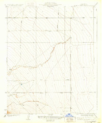
1963 Map of San Joaquin
USGS Topo · Published 1965About this map
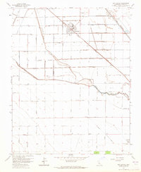
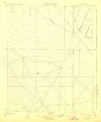
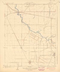
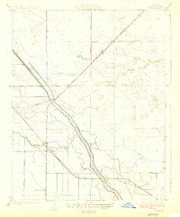
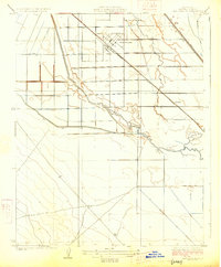
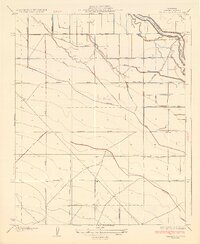
San Joaquin serves as the focal point of this Central Valley landscape, situated along the Southern Pacific Railroad during a period of significant agricultural and industrial activity. The surrounding terrain is defined by a rigorous grid of avenues named after California counties, including Sonoma Ave, Yolo Ave, and Napa Ave, reflecting a highly organized approach to land management. Water management is central to the area's utility, with the meandering Fresno Slough and the straightened James Bypass cutting through the fields, while a Cotton Gin and several San Joaquin Substations anchor the local economy.
Find a feature on this map
46 named features on this map. Tap any name to fly to it.
Don’t see what you’re looking for? This feature index may not catch every label — zoom into the map to look around manually.
Map Details
Editions of this 1963 San Joaquin Map
This is the sole edition of this map. No revisions or reprints were ever made.
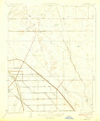
Other maps of this area

1912 · Coalinga
USGS Topo · 1:125,000
1923 · Englebrecht Ranch
USGS Topo · 1:31,680
1924 · Jamesan
USGS Topo · 1:31,680
1924 · Tranquillity
USGS Topo · 1:31,680
1925 · Helm
USGS Topo · 1:31,680
1925 · San Joaquin
USGS Topo · 1:31,680
1931 · Wheatville
USGS Topo · 1:31,680
1931 · Towne Oil Station
USGS Topo · 1:31,680
1931 · Mouth of Cantua Creek
USGS Topo · 1:31,680
1943 · Joaquin Rocks
USGS Topo · 1:62,500