
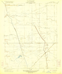
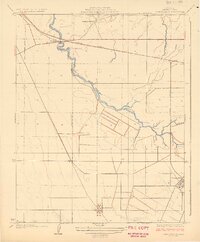
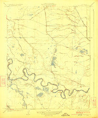
1924 Map of Gravelly Ford
USGS Topo · Published 1924About this map
The San Joaquin River snakes through this Central Valley landscape, defining the boundary between Madera Co and Fresno Co. Surveyed shortly after the turn of the century, the map reveals an agricultural frontier transitioning from open range to irrigation-supported ranching. Significant local landholdings like the Bonita Ranch and Gravelly Ford Ranch are established near the water, while the Cottonwood Cow Camp sits to the north along Cottonwood Creek. The development of the Aliso Canal and Enterprise Canal indicates the early 20th-century push to manage water for expanded cultivation. Rural life is anchored by the Sunset School in the southeast, serving a community linked by a grid of early roads including Shepherd Avenue and Ashland Ave.
Find a feature on this map
15 named features on this map. Tap any name to fly to it.
Don’t see what you’re looking for? This feature index may not catch every label — zoom into the map to look around manually.
Map Details
Editions of this 1924 Gravelly Ford Map
This is the sole edition of this map. No revisions or reprints were ever made.
Other maps of this area

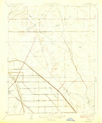
1920 · Bonita Ranch
USGS Topo · 1:31,680

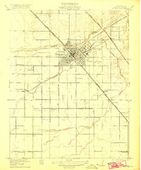
1921 · Mendota
USGS Topo · 1:31,680

1921 · Bonita Ranch
USGS Topo · 1:31,680
1922 · Kentucky Well
USGS Topo · 1:31,680
1922 · Madera
USGS Topo · 1:31,680
1923 · Biola
USGS Topo · 1:31,680
1924 · Jamesan
USGS Topo · 1:31,680
1924 · Tranquillity
USGS Topo · 1:31,680
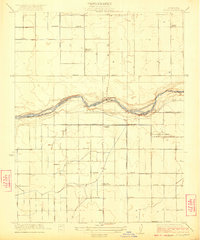
1924 · Mendota
USGS Topo · 1:31,680
1946 · Tranquillity
USGS Topo · 1:62,500