Old Maps of Tranquillity, California
Explore 23 old maps of Tranquillity, spanning from 1924 to today. These high-resolution historic maps reveal how streets, neighborhoods, landmarks, and natural features evolved over time — perfect for genealogy, metal detecting, research, and local history exploration.
What you can do with these maps:
- See how Tranquillity changed over time: Compare historical maps to modern-day views to trace roads, homesites, rail lines & more.
- View detailed metadata: Each map includes creators, publishers, year, scale, and archive source.
- Overlay maps with satellite & LiDAR: Visualize the past alongside modern tools to explore terrain & human change.
- Trusted historical sources: Maps sourced from the USGS, Library of Congress, and other archives.
- Access maps your way: View online, download high-res files, or order prints for personal or research use.
Start exploring old maps of Tranquillity to uncover forgotten places, hidden landmarks, and the deep history beneath your feet.
Tranquillity, CA maps
(23)- 1924 Map of Jamesan
 1924 Jamesan1924 Print · USGSFresno County agriculture and infrastructure were rapidly expanding in the mid-1920s. Genealogists and researchers can trace the early rail-and-water network through Jamesan, Tranquillity, and the Southern Pacific rail line.2 unique versions available
 - 1924 Map of Tranquillity
 1924 Tranquillity1924 Print · USGSThe Fresno County ranch lands near Tranquillity are captured here in the early twenties, showing a landscape shaped by large holdings and the Southern Pacific. Researchers can locate family landmarks like Herminghaus Ranch and trace the Kings River Slough.3 unique versions available
 - 1946 Map of Tranquillity, 1953 Print
 1946 Tranquillity1953 Print · USGSAgricultural life in Fresno County during the mid-1940s revolved around rail transport and water management. Genealogists and historians can trace family operations like Coit Ranch and Englebrecht Ranch or follow the Southern Pacific through Tranquillity.
 - 1947 Map of Tranquillity
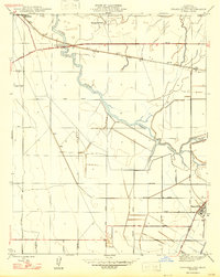 1947 Tranquillity1947 Print · USGSFresno County agriculture and rail networks come into focus in the late 1940s. Researchers can trace the development of irrigation near Tranquillity and follow the Southern Pacific tracks through Mendota and the Herminghaus Ranch.
 - 1947 Map of Jamesan
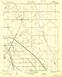 1947 Jamesan1947 Print · USGSFresno County's agricultural heartland is captured in the late 1940s, showcasing a landscape transformed by railroads and irrigation. Genealogists and local historians can trace the early foundations of Jamesan and Tranquillity along the Southern Pacific line.
 - 1948 Map of Santa Cruz
 1948 Santa Cruz1948 Print · USGSThe Central Coast and San Joaquin Valley meet in this mid-century look at the region's agricultural and military geography. Genealogists and historians can trace the paths of El Camino Real, locate family farms near Hollister, or study the footprint of the Fort Ord Military Reservation.2 unique versions available
 - 1955 Map of Santa Cruz
 1955 Santa Cruz1955 Print · USGSCoastal Monterey Bay and the fertile Salinas Valley are captured here during the post-war expansion of the mid-fifties. Researchers can trace the era's rail-and-road network via the Southern Pacific lines and find landmarks like Fort Ord or the Lonoak School.
 - 1956 Map of Tranquillity, 1957 Print
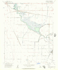 1956 Tranquillity1957 Print · USGSThe Fresno County agricultural heartland is documented here in the mid-fifties, dominated by the intricate waterways of the Mendota Wildlife Management Area. Genealogists and historians can trace the local rail economy through the Southern Pacific tracks and old sites like Ingle or the Yearout Ranch.3 unique versions available
 - 1957 Map of Santa Cruz
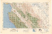 1957 Santa Cruz1957 Print · USGSCentral California comes into sharp focus during the late fifties, from the fog-swept Monterey Bay to the sun-drenched San Joaquin Valley. Genealogists and historians can trace the mid-century footprints of Fort Ord Military Reservation, the Southern Pacific line, and the historic streets of San Juan Bautista.
 - 1958 Map of Santa Cruz
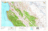 1958 Santa Cruz1958 Print · USGSCoastal California and the central valleys are shown during the mid-fifties, capturing a landscape of massive military reserves and vital rail arteries. Genealogists and historians can trace the Southern Pacific line through Salinas or explore the early footprints of the Fort Ord Military Reservation and San Juan Bautista.2 unique versions available
 - 1963 Map of Kerman, 1965 Print
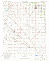 1963 Kerman1965 Print · USGSFresno County's agricultural heartland is documented here in the early sixties as a complex network of irrigation and rail. Researchers can trace the lineage of water and transport through the James Bypass, the Southern Pacific line, and local sites like Traction Ranch or the Raisin City Oil Field.2 unique versions available
 - 1963 Map of Jamesan, 1965 Print
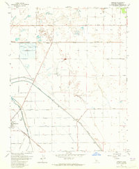 1963 Jamesan1965 Print · USGSCentral California's agricultural heartland is captured in the early sixties, showing the vital rail and water networks near Tranquillity. Researchers can trace the Southern Pacific line and irrigation landmarks like the James Bypass and Traction Ranch.3 unique versions available
 - 1965 Map of Santa Cruz, 1968 Print
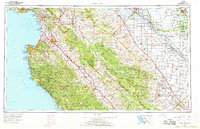 1965 Santa Cruz1968 Print · USGSThe Central Coast and San Joaquin Valley meet here during the mid-sixties, capturing the growth of agricultural and coastal hubs. Trace the historic Southern Pacific RR lines and locate sites like the Presidio of Monterey or Pinnacles National Monument.
 - 1974 Map of Monterey, 1977 Print
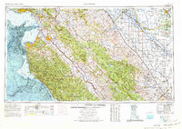 1974 Monterey1977 Print · USGSThe Central Coast and San Joaquin Valley meet in this mid-seventies survey of the Monterey region. Genealogists and historians can locate Spanish-era sites like the San Antonio de Padua Mission, early industrial markers such as the New Idria Mine, and coastal landmarks like the Point Sur Lighthouse.
 - 1982 Map of Mendota, 1983 Print
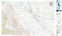 1982 Mendota1983 Print · USGSThe Central Valley's massive water-moving infrastructure is in full view during the early eighties, from the San Joaquin River to the California Aqueduct. Researchers can trace the Southern Pacific rail lines through towns like Mendota, Firebaugh, and Tranquillity.2 unique versions available
 - 2012 Map of Jamesan, 2012 Print
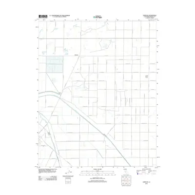 2012 Jamesan2012 Print · USGSFresno County's agricultural grid and irrigation networks are on full display in this early 21st-century survey of the San Joaquin Valley. Researchers can trace the diagonal path of the James Bypass and locate local landmarks like Traction Ranch, the Du Bois Ranch Airport, and the Jamesan settlement.
 - 2012 Map of Tranquillity, 2012 Print
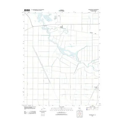 2012 Tranquillity2012 Print · USGSThe Central Valley's agricultural and hydraulic character is on full display in this 2012 survey of Fresno County. Trace the intersection of local water management and rural life near Tranquillity, Fresno Slough, and the historic crossing at Whites Bridge.
 - 2015 Map of Jamesan, 2015 Print
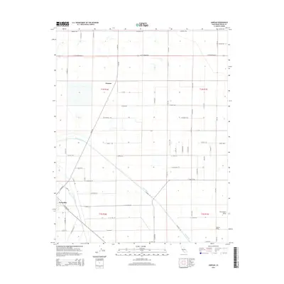 2015 Jamesan2015 Print · USGSFresno County agricultural lands appear in detail during the mid-2010s, showcasing the intricate irrigation and road networks of the San Joaquin Valley. Researchers can trace the water path of the James Bypass and locate the small rural hubs of Tranquillity and Jamesan.
 - 2015 Map of Tranquillity, 2015 Print
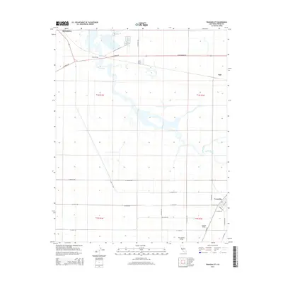 2015 Tranquillity2015 Print · USGSAgricultural life in the San Joaquin Valley is preserved here during the mid-2010s. Researchers can trace the layout of Mendota and Tranquillity while following the path of Fresno Slough through this central California landscape.
 - 2018 Map of Tranquillity, 2018 Print
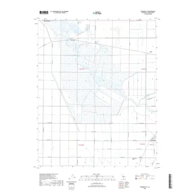 2018 Tranquillity2018 Print · USGSThe central San Joaquin Valley comes into focus in this late 2010s survey of Fresno County's agricultural heartland. Researchers can trace the water systems around Fresno Slough and James Bypass while locating family roots in Mendota or the town of Tranquillity.
 - 2018 Map of Jamesan, 2018 Print
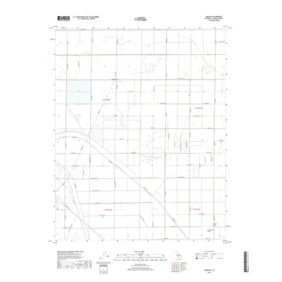 2018 Jamesan2018 Print · USGSFresno County's agricultural heartland is captured here in the late twenty-teens, showing the intricate water and road systems of the Central Valley. Researchers can trace local landmarks like Jamesan and the Church along the James Bypass.
 - 2021 Map of Tranquillity, 2021 Print
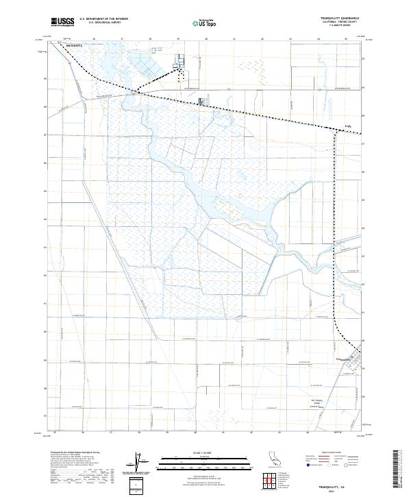 2021 Tranquillity2021 Print · USGSThe agricultural heart of the San Joaquin Valley comes into focus in this recent survey of Fresno County. Researchers can trace the water networks of Fresno Slough and James Bypass alongside local landmarks like Tranquillity and Ingle.
 - 2021 Map of Jamesan, 2021 Print
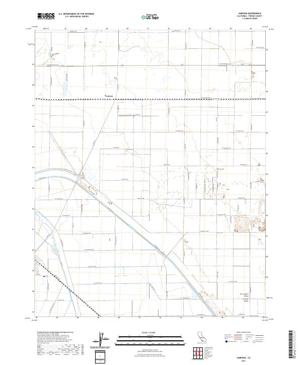 2021 Jamesan2021 Print · USGSFresno County's western agricultural heartland is documented here in the early twenty-first century, showing the intersection of rural life and water infrastructure. Researchers can trace the path of the James Bypass and locate the small community of Jamesan or the lone Church along the grid.
End of results
Showing maps 1-23 of 23
Top cities near Tranquillity
Frequently asked questions
- What are the different types of historical maps available for Tranquillity?
- What is the oldest map of Tranquillity?
- Where can I purchase historical maps of Tranquillity for my home or office?
- Where can I download high-res historical maps of Tranquillity?
- Are there historical topographic maps available for Tranquillity?
- Is there historical aerial imagery available for Tranquillity?
- Where are historical maps of Tranquillity sourced from?