2021 Map of Tranquillity
USGS Topo · Published 2021About this map
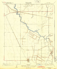
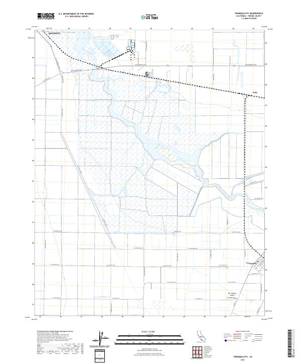
Tranquillity and Mendota anchor this portion of the San Joaquin Valley, a landscape shaped by the intricate water systems of the Central Valley. The hydrologic character of the region is defined by the winding course of the Fresno Slough and the engineered James Bypass, which provide essential drainage and water management for the surrounding agricultural lands. A rigid grid of county roads, such as Whitesbridge Ave and Santa Fe Co Rd, intersects the wetland areas and fields, marking the boundaries of section lines and township ranges. The small settlement of Ingle sits along the northeastern edge, while the southern reach is characterized by long, straight thoroughfares like W Lincoln Ave and W Adams Ave. This 2021 survey reveals a modern agricultural landscape that remains deeply tied to the natural sloughs and waterways that have dictated local settlement patterns for generations.
Find a feature on this map
38 named features on this map. Tap any name to fly to it.
Don’t see what you’re looking for? This feature index may not catch every label — zoom into the map to look around manually.
Map Details
Editions of this 2021 Tranquillity Map
This is the sole edition of this map. No revisions or reprints were ever made.
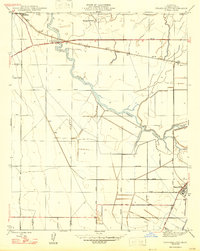
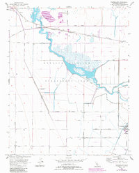
Historical Maps of Tranquillity Through Time
5 maps found