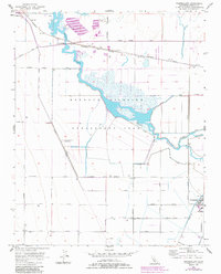
1956 Map of Tranquillity
USGS Topo · Published 1984About this map
Tranquillity and Mendota anchor this mid-century view of the San Joaquin Valley, where the natural hydrology of the Fresno Slough meets an intensive system of managed agriculture and conservation. The landscape is defined by the expansive Mendota Wildlife Management Area, featuring a complex network of levees, pumps, and Fish Rearing Ponds. This map captures a significant intersection of transport and ecology, showing the Southern Pacific railroad cutting through the Alkali Sink Ecological Reserve near Ingle.
Find a feature on this map
23 named features on this map. Tap any name to fly to it.
Don’t see what you’re looking for? This feature index may not catch every label — zoom into the map to look around manually.
Map Details
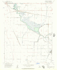
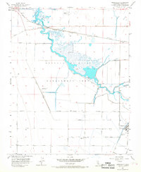
Editions of this 1956 Tranquillity Map
3 editions found
Other maps of this area

1921 · Mendota
USGS Topo · 1:31,680

1922 · Tufts Ranch
USGS Topo · 1:31,680

1923 · Levis
USGS Topo · 1:31,680

1923 · Englebrecht Ranch
USGS Topo · 1:31,680

1923 · Firebaugh
USGS Topo · 1:31,680

1924 · Jamesan
USGS Topo · 1:31,680

1924 · Tranquillity
USGS Topo · 1:31,680

1924 · Gravelly Ford
USGS Topo · 1:31,680

1924 · Mendota
USGS Topo · 1:31,680

1925 · San Joaquin
USGS Topo · 1:31,680