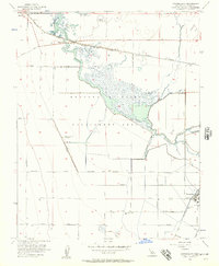
1956 Map of Tranquillity
USGS Topo · Published 1957About this map
Fresno Slough meanders through the heart of this Central Valley landscape, defining the character of the Mendota Wildlife Management Area. The map reveals a complex water management system essential for regional agriculture and conservation, featuring Fish Rearing Ponds and the James Bypass. Transport networks of the mid-1950s are represented by the Southern Pacific railroad line and the Santa Fe Grade, which cut through a grid of rural roads named for California counties. The small settlements of Tranquillity and Mendota anchor the corners of the sheet, while family-held land like Yearout Ranch and the rail siding at Ingle suggest the area's deep-rooted agricultural identity. This survey captures a moment before modern industrial shifts, showing the reliance on levees and pumps to manage the low-lying terrain.
Find a feature on this map
34 named features on this map. Tap any name to fly to it.
Don’t see what you’re looking for? This feature index may not catch every label — zoom into the map to look around manually.
Map Details
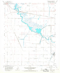
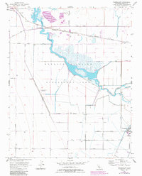
Editions of this 1956 Tranquillity Map
3 editions found
Other maps of this area

1921 · Mendota
USGS Topo · 1:31,680

1922 · Tufts Ranch
USGS Topo · 1:31,680

1923 · Levis
USGS Topo · 1:31,680

1923 · Englebrecht Ranch
USGS Topo · 1:31,680

1923 · Firebaugh
USGS Topo · 1:31,680

1924 · Jamesan
USGS Topo · 1:31,680

1924 · Tranquillity
USGS Topo · 1:31,680

1924 · Gravelly Ford
USGS Topo · 1:31,680

1924 · Mendota
USGS Topo · 1:31,680

1925 · San Joaquin
USGS Topo · 1:31,680