2000s (21st Century) Maps of Tranquillity, California
Explore 8 historic maps of Tranquillity from the 2000s (21st Century). These maps offer a rare glimpse into what life looked like during the 2000s — showing old roads, neighborhoods, homes, and landmarks that have changed or disappeared over time.
Whether you're researching your family's past, planning a metal detecting trip, or studying how Tranquillity's landscape evolved across the 2000s, these high-resolution maps are a powerful tool for exploring the history of this region.
- Focus on a specific era: All maps on this page are from the 2000s, giving you a focused view of this time period.
- See what’s changed: Compare century-old streets, trails, and buildings to today's modern landscape using overlays and satellite layers.
- Research with precision: Use these maps for genealogy, historical research, land use analysis, or educational projects.
- View, download, or print: Maps are fully viewable online in high resolution, and can be downloaded or printed for your own records.
Start exploring Tranquillity's history through authentic maps from the 2000s. This is your window into the past.
Tranquillity, CA maps
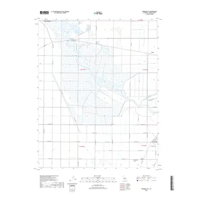
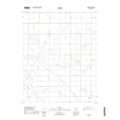
(8)- 2012 Map of Jamesan, 2012 Print
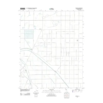 2012 Jamesan2012 Print · USGSCovers Tranquillity, including Fresno County, United States, and other nearby areas
 - 2012 Map of Tranquillity, 2012 Print
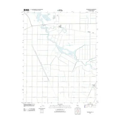 2012 Tranquillity2012 Print · USGSCovers Tranquillity, including Mendota, Fresno County, and other nearby areas
 - 2015 Map of Jamesan, 2015 Print
 2015 Jamesan2015 Print · USGSCovers Tranquillity, including Fresno County, United States, and other nearby areas
 - 2015 Map of Tranquillity, 2015 Print
 2015 Tranquillity2015 Print · USGSCovers Tranquillity, including Mendota, Fresno County, and other nearby areas
 - 2018 Map of Tranquillity, 2018 Print
 2018 Tranquillity2018 Print · USGSCovers Tranquillity, including Mendota, Fresno County, and other nearby areas
 - 2018 Map of Jamesan, 2018 Print
 2018 Jamesan2018 Print · USGSCovers Tranquillity, including Fresno County, United States, and other nearby areas
 - 2021 Map of Tranquillity, 2021 Print
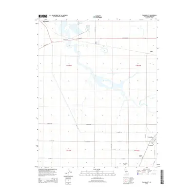
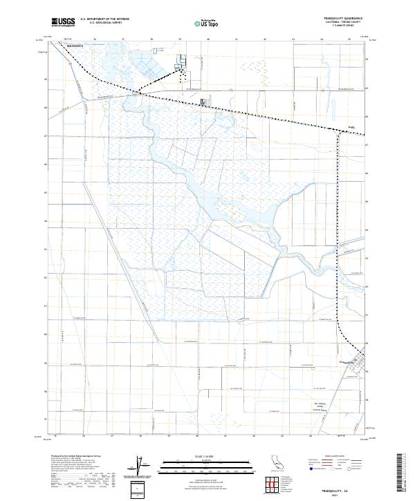 2021 Tranquillity2021 Print · USGSThe agricultural heart of the San Joaquin Valley comes into focus in this recent survey of Fresno County. Researchers can trace the water networks of Fresno Slough and James Bypass alongside local landmarks like Tranquillity and Ingle.
 - 2021 Map of Jamesan, 2021 Print
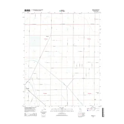
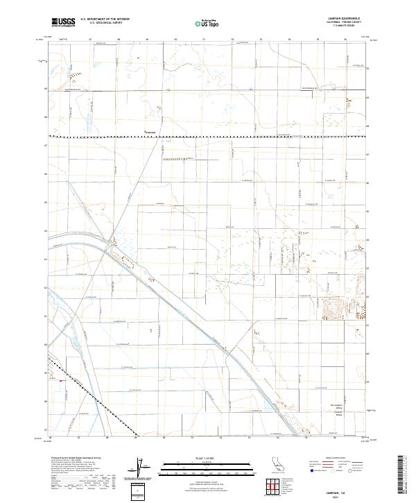 2021 Jamesan2021 Print · USGSFresno County's western agricultural heartland is documented here in the early twenty-first century, showing the intersection of rural life and water infrastructure. Researchers can trace the path of the James Bypass and locate the small community of Jamesan or the lone Church along the grid.
End of results
Showing maps 1-8 of 8
Top cities near Tranquillity
Frequently asked questions
- What are the different types of historical maps available for Tranquillity?
- What is the oldest map of Tranquillity?
- Where can I purchase historical maps of Tranquillity for my home or office?
- Where can I download high-res historical maps of Tranquillity?
- Are there historical topographic maps available for Tranquillity?
- Is there historical aerial imagery available for Tranquillity?
- Where are historical maps of Tranquillity sourced from?