Old Maps of Lost Hills, California
Explore 25 old maps of Lost Hills, spanning from 1914 to today. These high-resolution historic maps reveal how streets, neighborhoods, landmarks, and natural features evolved over time — perfect for genealogy, metal detecting, research, and local history exploration.
What you can do with these maps:
- See how Lost Hills changed over time: Compare historical maps to modern-day views to trace roads, homesites, rail lines & more.
- View detailed metadata: Each map includes creators, publishers, year, scale, and archive source.
- Overlay maps with satellite & LiDAR: Visualize the past alongside modern tools to explore terrain & human change.
- Trusted historical sources: Maps sourced from the USGS, Library of Congress, and other archives.
- Access maps your way: View online, download high-res files, or order prints for personal or research use.
Start exploring old maps of Lost Hills to uncover forgotten places, hidden landmarks, and the deep history beneath your feet.
Lost Hills, CA maps
(25)- 1914 Map of Lost Hills
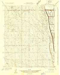
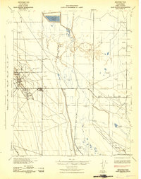
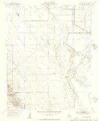
 1914 Lost Hills1914 Print · USGSThe western San Joaquin Valley appears here as an arid ranching frontier during the early years of oil exploration. Researchers can trace historic travel routes like the Dudley-Lemoore Road and locate isolated landmarks such as McDonalds Ranch, Emigrant Hill, and Alamo Solo Spr.4 unique versions available
 - 1932 Map of West of Goose Lake
 1932 West of Goose Lake1932 Print · USGSKern County's western valley floor was a landscape of expanding utility and transit in the early thirties. Local historians can trace early infrastructure like the Paso Robles and Bakersfield State Highway and the Lost Hills Sch.
 - 1932 Map of Reynolds Ranch
 1932 Reynolds Ranch1932 Print · USGSIn the early 1930s, the southern San Joaquin Valley was a landscape defined by ranching and the surging petroleum industry. Researchers can trace early energy infrastructure at the Lost Hills Oil Field and worker life at the Associated Oil Co Camp or Universal Consolidated Oil Co Camp.
 - 1934 Map of West of Goose Lake
 1934 West of Goose Lake1934 Print · USGSThe oil-rich landscape of Kern County is captured here in the mid-1930s, showing the ridge-and-valley terrain of the San Joaquin. Genealogists and researchers can trace the early layout of Lost Hills, the Lost Hills Sch, and the West Side Canal.2 unique versions available
 - 1940 Map of Reynolds Ranch
 1940 Reynolds Ranch1940 Print · USGSKern County ranching and early irrigation projects are preserved here in the years leading up to the mid-century. Genealogists and local historians can trace the footprints of Reynolds Ranch, Gilbert Ranch, and the path of the Goose Lake Canal.
 - 1942 Map of Hart Station
 1942 Hart Station1942 Print · USGSThe San Joaquin Valley during the early years of the war reveals an landscape of managed water and private sporting clubs. Genealogists and local historians can trace family-named properties like Cole Ranch and Douglas Ranch or locate the rural Semitropic Sch.
 - 1948 Map of Bakersfield
 1948 Bakersfield1948 Print · USGSBakersfield and the southern San Joaquin Valley appear in the late 1940s, showing a landscape of burgeoning oil towns, rail junctions, and early irrigation canals. Genealogists and historians can trace the foundations of local industry through Gardner Field, the Sunset Railway, and the shores of Buena Vista Lake.2 unique versions available
 - 1950 Map of Reynolds Ranch
 1950 Reynolds Ranch1950 Print · USGSKern County ranching and water management are captured here during the mid-century, reflecting the landscape as it was surveyed in the 1930s. Genealogists and researchers can trace family-named sites such as Gilbert Ranch and Reynolds Ranch or follow the Goose Lake Canal.
 - 1950 Map of West of Goose Lake
 1950 West of Goose Lake1950 Print · USGSThe northern Kern County oil and agricultural fields are captured here at mid-century, centered on the growing community of Lost Hills. Researchers can trace early roads and infrastructure like the Lost Hills Sch and the path of the West Side Canal.
 - 1953 Map of Lost Hills, 1956 Print
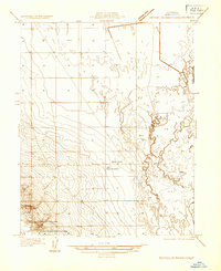
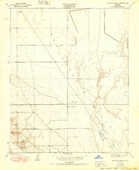
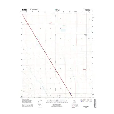
 1953 Lost Hills1956 Print · USGSThe oil fields of Kern County are in full production during the early fifties, centering on the settlement of Lost Hills. Genealogists and industrial historians can trace early petroleum infrastructure including Oil Wells, Oil Tanks, and the Lost Hills Airport.3 unique versions available
 - 1954 Map of Lost Hills NW, 1956 Print
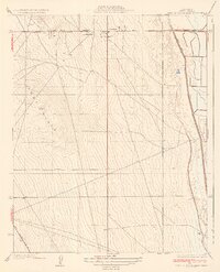
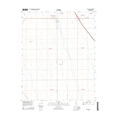
 1954 Lost Hills NW1956 Print · USGSMid-century Kern County comes into focus as an industrial landscape shaped by oil extraction and valley irrigation. Researchers can trace the development of the Lost Hills area through Oil Sumps, the Gilbert Ranch, and the Kern River Channel.3 unique versions available
 - 1955 Map of Bakersfield
 1955 Bakersfield1955 Print · USGSThe southern San Joaquin Valley in the mid-fifties shows an era of massive oil production and industrial irrigation. Trace family roots in Allensworth, the oil fields of Oildale, or the shorelines of Tulare Lake and Buena Vista Lake.
 - 1956 Map of Bakersfield
 1956 Bakersfield1956 Print · USGSThe southern San Joaquin Valley and High Sierra come alive in the mid-fifties, showing the region's complex agricultural and rail networks. Genealogists and historians can trace family roots in towns like Bakersfield, Taft, and Delano, or locate early infrastructure along the Sunset Railway.
 - 1960 Map of Bakersfield
 1960 Bakersfield1960 Print · USGSThe Southern San Joaquin Valley at mid-century reveals a complex landscape of petroleum development and massive irrigation projects. Researchers can trace the rail lines of the Southern Pacific, explore oil-era landmarks like Oil City, and locate early settlements including Allensworth and Pixley.2 unique versions available
 - 1962 Map of Bakersfield, 1969 Print
 1962 Bakersfield1969 Print · USGSThe Southern San Joaquin Valley is shown in the 1960s as a bustling intersection of petroleum production, irrigation agriculture, and mountain recreation. Researchers can trace the rail lines of the Southern Pacific through the valley or locate early desert developments like California City and Tehachapi.4 unique versions available
 - 1966 Map of Bakersfield
 1966 Bakersfield1966 Print · USGSThe southern San Joaquin Valley in the mid-sixties reveals a massive industrial and agricultural landscape shaped by water and oil. Genealogists and historians can trace the growth of Bakersfield and Oildale, or locate remote airfields like Minter Field and Mojave-Kern County No. 7 Airport.
 - 1993 Map of Delano
 1993 Delano1993 Print · USGSThe San Joaquin Valley's industrial and agricultural heartland is captured here in the early nineties, showing a landscape shaped by petroleum and irrigation. Genealogists and historians can trace settlements from McFarland to Alpaugh, alongside the Colonel Allensworth State Historic Park and the sprawling Trico Gas Field.2 unique versions available
 - 2012 Map of Lost Hills, 2012 Print
 2012 Lost Hills2012 Print · USGSCovers Lost Hills, including Kern County, United States, and other nearby areas
 - 2012 Map of Lost Hills NW, 2012 Print
 2012 Lost Hills NW2012 Print · USGSCovers Lost Hills, including Gilbert Ranch, Kern County, and other nearby areas
 - 2015 Map of Lost Hills NW, 2015 Print
 2015 Lost Hills NW2015 Print · USGSCovers Lost Hills, including Gilbert Ranch, Kern County, and other nearby areas
 - 2015 Map of Lost Hills, 2015 Print
 2015 Lost Hills2015 Print · USGSCovers Lost Hills, including Kern County, United States, and other nearby areas
 - 2018 Map of Lost Hills NW, 2018 Print
 2018 Lost Hills NW2018 Print · USGSCovers Lost Hills, including Gilbert Ranch, Kern County, and other nearby areas
 - 2018 Map of Lost Hills, 2018 Print
 2018 Lost Hills2018 Print · USGSCovers Lost Hills, including Kern County, United States, and other nearby areas
 - 2021 Map of Lost Hills NW, 2021 Print
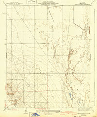
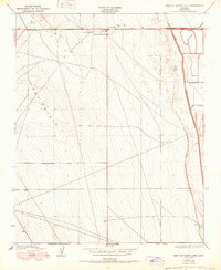
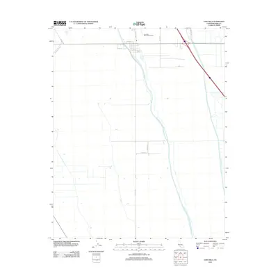
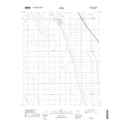
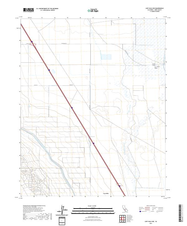 2021 Lost Hills NW2021 Print · USGSThe arid landscape of Kern County is defined by the engineering of the San Joaquin Valley in the early twenty-first century. Researchers can trace the path of the California Aqueduct and the historic Kern River Channel near Lost Hills.
 - 2021 Map of Lost Hills, 2021 Print
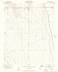
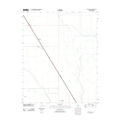
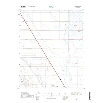
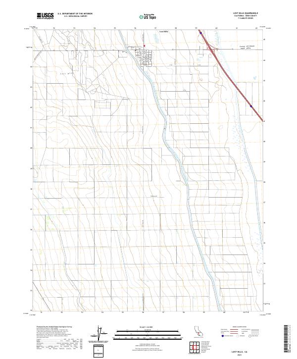 2021 Lost Hills2021 Print · USGSThe community of Lost Hills is documented here as a vital agricultural hub in the San Joaquin Valley during the early 2020s. Researchers can trace the massive California Aqueduct and the local street grid near Fresno St and Tulare St.
End of results
Showing maps 1-25 of 25
Top cities near Lost Hills
Frequently asked questions
- What are the different types of historical maps available for Lost Hills?
- What is the oldest map of Lost Hills?
- Where can I purchase historical maps of Lost Hills for my home or office?
- Where can I download high-res historical maps of Lost Hills?
- Are there historical topographic maps available for Lost Hills?
- Is there historical aerial imagery available for Lost Hills?
- Where are historical maps of Lost Hills sourced from?