
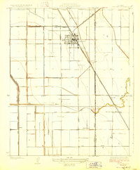
1928 Map of Corcoran
USGS Topo · Published 1928About this map
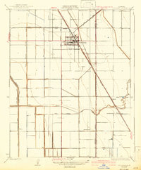
Agricultural development and water management define the landscape around Corcoran during the mid-1920s. This survey, conducted by S.B.O'Hara, reveals a meticulously gridded interior of the San Joaquin Valley where the Atchison Topeka and Santa Fe railroad cuts a sharp diagonal through a complex web of irrigation infrastructure. The map documents the northern reaches of the former Tulare Lake bed, evidenced by the Kings Lake Shore and the Kings Lake Tulare Water Co Canal, indicating how local water resources were diverted to support burgeoning settlements like South Corcoran and Turnbull. Small rural social centers are visible at Riverdale School and Tenseure School, while the course of the Tule River and various branches of Cross Creek reveal the natural drainage patterns that once dominated this region before extensive canalization. The transition from natural waterways to an engineered environment is clear through the many named ditches such as Sweet Canal and the West Corcoran Ditch.
Find a feature on this map
27 named features on this map. Tap any name to fly to it.
Don’t see what you’re looking for? This feature index may not catch every label — zoom into the map to look around manually.
Map Details
Editions of this 1928 Corcoran Map
3 editions found
Other maps of this area

1914 · Lost Hills
USGS Topo · 1:125,000

1927 · Lake View School
USGS Topo · 1:31,680

1927 · Paige
USGS Topo · 1:31,680

1928 · Waukena
USGS Topo · 1:31,680

1929 · Alpaugh
USGS Topo · 1:31,680

1929 · Guernsey
USGS Topo · 1:31,680

1929 · West Alpaugh
USGS Topo · 1:31,680

1931 · Harvester
USGS Topo · 1:31,680

1932 · El Rico Ranch
USGS Topo · 1:31,680
1935 · Harvester
USGS Topo · 1:31,680