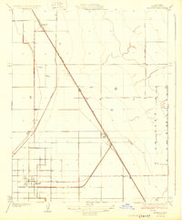
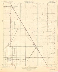
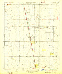
1929 Map of Alpaugh
USGS Topo · Published 1929About this map
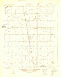
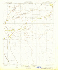
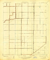
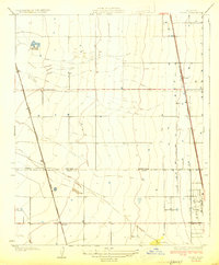
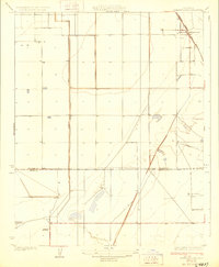
Alpaugh serves as the primary hub of this 1920s agricultural landscape, situated at the southern end of a geometric grid of roads and irrigation infrastructure. The territory is defined by the rigid diagonal of the Atchison Topeka and Santa Fe railroad, which dictates the placement of several small sidings and loading points such as Angiola, Spa, and Stoil. These settlements illustrate the rail-dependent economy of the San Joaquin Valley during the interwar period, where transport was essential for moving local produce. Drainage and water management are prominent through features like the Homeland Canal and the meandering path of Elk Bayou to the east. The survey reveals a landscape in transition, where natural watercourses like the bayou intersect with an increasingly engineered environment designed for large-scale cultivation.
Find a feature on this map
7 named features on this map. Tap any name to fly to it.
Don’t see what you’re looking for? This feature index may not catch every label — zoom into the map to look around manually.
Map Details
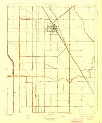
Editions of this 1929 Alpaugh Map
2 editions found
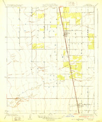
Other maps of this area

1914 · Lost Hills
USGS Topo · 1:125,000
1925 · Tipton
USGS Topo · 1:31,680
1927 · Lake View School
USGS Topo · 1:31,680
1928 · Tipton
USGS Topo · 1:31,680
1928 · Corcoran
USGS Topo · 1:31,680
1929 · Hacienda Ranch
USGS Topo · 1:31,680
1929 · Pixley
USGS Topo · 1:31,680
1929 · West Alpaugh
USGS Topo · 1:31,680
1929 · Stone
USGS Topo · 1:31,680
1929 · Allensworth
USGS Topo · 1:31,680