
1929 Map of Stone
USGS Topo · Published 1929About this map
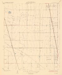
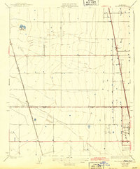
Agricultural development in the southern San Joaquin Valley is defined by two major rail corridors that bisect this landscape. The Southern Pacific line runs nearly due north through Stone and the northern edge of Delano, while the Atchison Topeka and Santa Fe angles across the western plains near Kernell. This 1920s topography highlights the transition between Tulare and Kern counties along the Tulare Co Kern Co Boundary Line, where the land is scored by early irrigation canals and drainage ditches. The presence of the American Gun Club suggests a landscape where recreational hunting coexisted with the expanding citrus and grape fields of the region. This survey captures the precise grid of section lines and early surveyed roads that would eventually facilitate the massive industrial farming growth of the twentieth century.
Find a feature on this map
8 named features on this map. Tap any name to fly to it.
Don’t see what you’re looking for? This feature index may not catch every label — zoom into the map to look around manually.
Map Details
Editions of this 1929 Stone Map
3 editions found
Other maps of this area

1927 · McFarland
USGS Topo · 1:31,680

1929 · Alpaugh
USGS Topo · 1:31,680

1929 · Delano
USGS Topo · 1:31,680

1929 · Sausalito School
USGS Topo · 1:31,680

1929 · Pixley
USGS Topo · 1:31,680

1929 · Allensworth
USGS Topo · 1:31,680

1930 · McFarland
USGS Topo · 1:31,680

1930 · Hamlin School
USGS Topo · 1:31,680

1930 · Pond
USGS Topo · 1:31,680
1942 · Slater
USGS Topo · 1:62,500