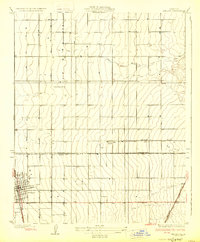
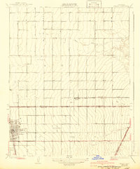
1929 Map of Delano
USGS Topo · Published 1929About this map
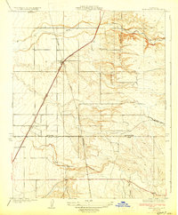
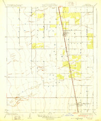
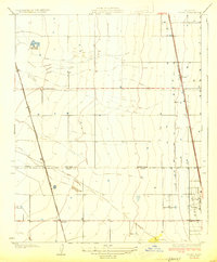
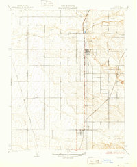
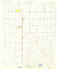
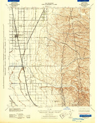
Delano serves as the primary urban center for this 1920s agricultural landscape, where the grid of the San Joaquin Valley meets the drainage of the White River. The town's early development is clearly defined by the path of the Southern Pacific railroad, which runs parallel to the main street network. Surrounding the town, the land is divided into a strict surveying grid punctuated by essential community landmarks like the Sausalito School and Columbine Sch.
Find a feature on this map
10 named features on this map. Tap any name to fly to it.
Don’t see what you’re looking for? This feature index may not catch every label — zoom into the map to look around manually.
Map Details
Editions of this 1929 Delano Map
2 editions found
Other maps of this area
1927 · McFarland
USGS Topo · 1:31,680
1929 · Sausalito School
USGS Topo · 1:31,680
1929 · Richgrove
USGS Topo · 1:31,680
1929 · Pixley
USGS Topo · 1:31,680
1929 · Stone
USGS Topo · 1:31,680
1929 · Ducor
USGS Topo · 1:31,680
1930 · McFarland
USGS Topo · 1:31,680
1930 · Pond
USGS Topo · 1:31,680
1931 · Deepwell Ranch
USGS Topo · 1:31,680
1942 · Slater
USGS Topo · 1:62,500
Featured Places
- Delano, CA
- Delano Mobile Home Park, Delano
- Cypress Gardens Mobile Home Community, Delano
- Kern County, CA
- Tulare County, CA