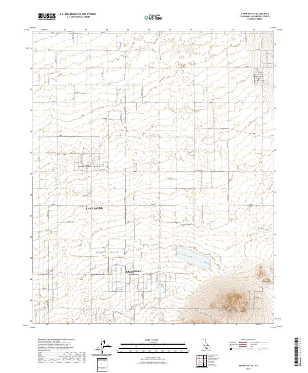
2021 Map of Alpine Butte
USGS Topo · Published 2021About this map
Antelope Valley and the western reaches of the Mojave Desert define the landscape of this high desert region north of Los Angeles. The terrain is characterized by a stark contrast between the vast, flat basins of the valley floor and the sudden elevation of isolated volcanic remnants like Alpine Butte and the Rocky Buttes. In the early 2020s, the area reflects a transition from the industrial and residential corridors of Lancaster and Palmdale to the open, grid-patterned reaches of the desert. The orderly surveyor's grid, marked by arterial routes such as E Lancaster Blvd and E Ave J, stretches across the valley floor, tracing the path of suburban expansion into the arid landscape where natural features like Rock Cr cut across the alluvial plains.
Find a feature on this map
49 named features on this map. Tap any name to fly to it.
Don’t see what you’re looking for? This feature index may not catch every label — zoom into the map to look around manually.
Map Details
Editions of this 2021 Alpine Butte Map
This is the sole edition of this map. No revisions or reprints were ever made.
Other maps of this area

1915 · Elizabeth Lake
USGS Topo · 1:125,000

1917 · Elizabeth Lake
USGS Topo · 1:125,000

1930 · Joshua
USGS Topo · 1:24,000

1930 · Lovejoy Springs
USGS Topo · 1:24,000

1930 · Roosevelt School
USGS Topo · 1:24,000

1930 · Casa Desierta
USGS Topo · 1:24,000

1930 · West Alpine Butte
USGS Topo · 1:24,000

1930 · Tierra Bonita
USGS Topo · 1:24,000

1933 · Casa Desierta
USGS Topo · 1:24,000

1933 · Lovejoy Springs
USGS Topo · 1:24,000