2021 Map of Alpine
USGS Topo · Published 2021About this map
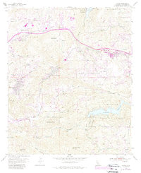
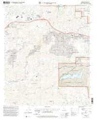
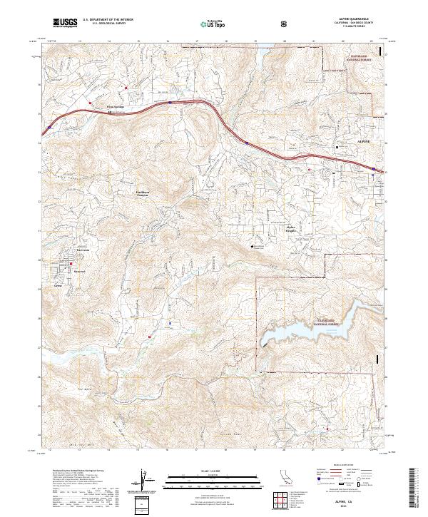
Alpine and Flinn Springs serve as primary hubs in this inland San Diego County landscape, where residential expansion meets protected conservation lands. The map details a complex network of valleys and peaks, including Galloway Valley and the prominent Sycuan Peak, demonstrating how modern development follows the contours of the terrain. Protected acreage is significant here, with the Cleveland National Forest and the San Diego National Wildlife Refuge bordering established communities like Harison Canyon and Suncrest.
Find a feature on this map
45 named features on this map. Tap any name to fly to it.
Don’t see what you’re looking for? This feature index may not catch every label — zoom into the map to look around manually.
Map Details
Editions of this 2021 Alpine Map
This is the sole edition of this map. No revisions or reprints were ever made.
Historical Maps of Alpine Through Time
3 maps found