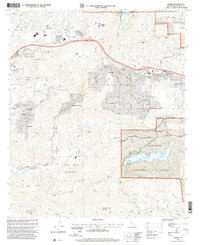
1997 Map of Alpine
USGS Topo · Published 2000About this map
Alpine and its surrounding foothills show a landscape of rural expansion and established indigenous lands in the late 1990s. The map highlights the sprawling boundaries of the Sycuan Indian Reservation to the south and the Capitan Grande Indian Res to the north, framing a region defined by complex topography and critical water infrastructure. The Sweetwater River flows through the central terrain, punctuated by the Sweetwater Falls Dam and the expansive Loveland Reservoir, which includes a dedicated Loveland Fishing Access.
Find a feature on this map
54 named features on this map. Tap any name to fly to it.
Don’t see what you’re looking for? This feature index may not catch every label — zoom into the map to look around manually.
Map Details
Editions of this 1997 Alpine Map
This is the sole edition of this map. No revisions or reprints were ever made.
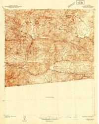
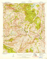
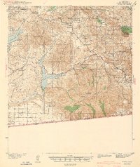
Other maps of this area

1893 · El Cajon
USGS Topo · 1:62,500

1901 · Elcajon
USGS Topo · 1:62,500

1903 · Cuyamaca
USGS Topo · 1:125,000

1903 · Elcajon
USGS Topo · 1:62,500

1904 · Southern California Sheet No. 2
USGS Topo · 1:250,000

1939 · El Cajon
USGS Topo · 1:62,500
1942 · Potrero
USGS Topo · 1:48,000

1942 · El Cajon
USGS Topo · 1:62,500
1942 · Cuyamaca Peak
USGS Topo · 1:62,500
1943 · Jamul
USGS Topo · 1:62,500