
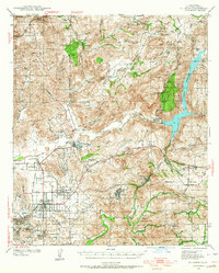
1939 Map of El Cajon
USGS Topo · Published 1955About this map
El Cajon and the surrounding river valleys are captured here just before the era of rapid postwar suburbanization, showing a landscape defined by ranching and newly engineered water systems. The San Diego River corridor serves as the primary axis for development, with the El Capitan Reservoir and its prominent Dam representing critical infrastructure for the region's growth. To the west, the San Diego and Arizona Eastern railroad links the agricultural hubs of Santee and Lakeside, where the Edgemoor County Farm stands as a significant local institution.
Find a feature on this map
82 named features on this map. Tap any name to fly to it.
Don’t see what you’re looking for? This feature index may not catch every label — zoom into the map to look around manually.
Map Details
Editions of this 1939 El Cajon Map
2 editions found
Other maps of this area

1893 · El Cajon
USGS Topo · 1:62,500

1893 · Escondido
USGS Topo · 1:62,500

1901 · Elcajon
USGS Topo · 1:62,500

1901 · Escondido
USGS Topo · 1:62,500

1901 · San Luis Rey
USGS Topo · 1:125,000

1903 · Cuyamaca
USGS Topo · 1:125,000

1903 · La Jolla
USGS Topo · 1:62,500

1903 · Elcajon
USGS Topo · 1:62,500

1903 · Ramona
USGS Topo · 1:125,000

1904 · San Diego
USGS Topo · 1:62,500