
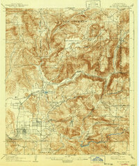
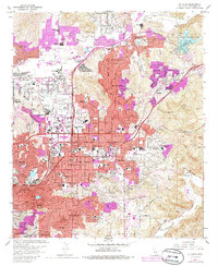
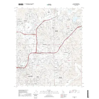
1942 Map of El Cajon
USGS Topo · Published 1942About this map
El Capitan Reservoir and the San Diego River anchor this inland San Diego County landscape just before the mid-century. The map captures a transition from traditional ranching to growing residential and institutional footprints, featuring numerous family-held properties like Warren Ranch, Goodan Ranch, and Sloan Ranch. Institutional and social history is prominent, evidenced by the Edgemoor County Farm and the Daky Mine (Gold) located north of El Cajon Mtn.
Find a feature on this map
73 named features on this map. Tap any name to fly to it.
Don’t see what you’re looking for? This feature index may not catch every label — zoom into the map to look around manually.
Map Details
Editions of this 1942 El Cajon Map
This is the sole edition of this map. No revisions or reprints were ever made.
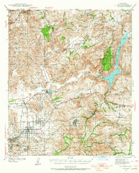
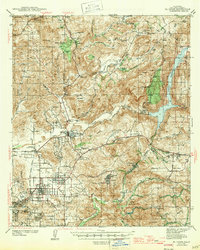
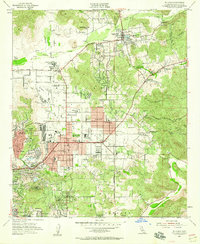
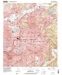
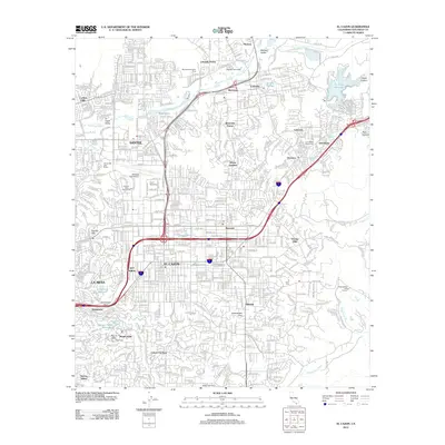
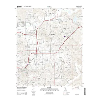
Historical Maps of San Diego Through Time
12 maps found
1903 El Cajon
San Diego County, CA
1939 El Cajon
San Diego County, CA
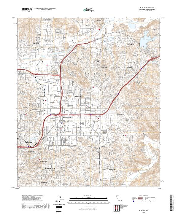
1942 El Cajon
San Diego County, CA
1947 El Cajon
San Diego County, CA
1955 El Cajon
San Diego County, CA
1967 El Cajon
San Diego County, CA

1979 El Cajon
San Diego County, CA
1996 El Cajon
San Diego County, CA
2012 El Cajon
San Diego County, CA
2015 El Cajon
San Diego County, CA
2018 El Cajon
San Diego County, CA
2021 El Cajon
San Diego County, CA