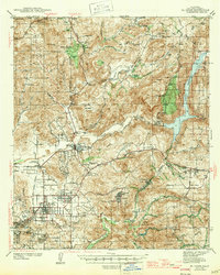
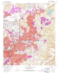
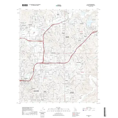
1947 Map of El Cajon
USGS Topo · Published 1947About this map
The San Diego River watershed defines this Southern California landscape, which was surveyed just before the 1940s. At the center of the region's agricultural and social structure is the Edgemoor County Farm near Santee, while the eastern peaks are dominated by the El Capitan Reservoir and the Capitan Grande Indian Reservation. The mapping captures a network of small ranching and residential pockets like Lakeside, Bostonia, and Glenview, all connected by U. S. Route 80.
Find a feature on this map
78 named features on this map. Tap any name to fly to it.
Don’t see what you’re looking for? This feature index may not catch every label — zoom into the map to look around manually.
Map Details
Editions of this 1947 El Cajon Map
This is the sole edition of this map. No revisions or reprints were ever made.
Historical Maps of San Diego Through Time
12 maps found
1903 El Cajon
San Diego County, CA
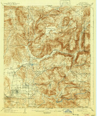
1939 El Cajon
San Diego County, CA

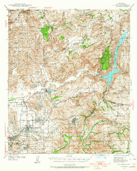
1942 El Cajon
San Diego County, CA
1947 El Cajon
San Diego County, CA
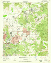
1955 El Cajon
San Diego County, CA
1967 El Cajon
San Diego County, CA

1979 El Cajon
San Diego County, CA
1996 El Cajon
San Diego County, CA
2012 El Cajon
San Diego County, CA
2015 El Cajon
San Diego County, CA
2018 El Cajon
San Diego County, CA
2021 El Cajon
San Diego County, CA