1967 Map of El Cajon
USGS Topo · Published 1986About this map
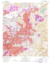
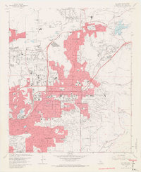
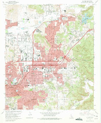
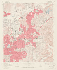
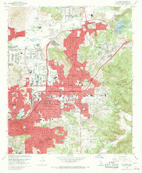
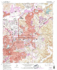
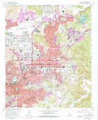
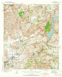
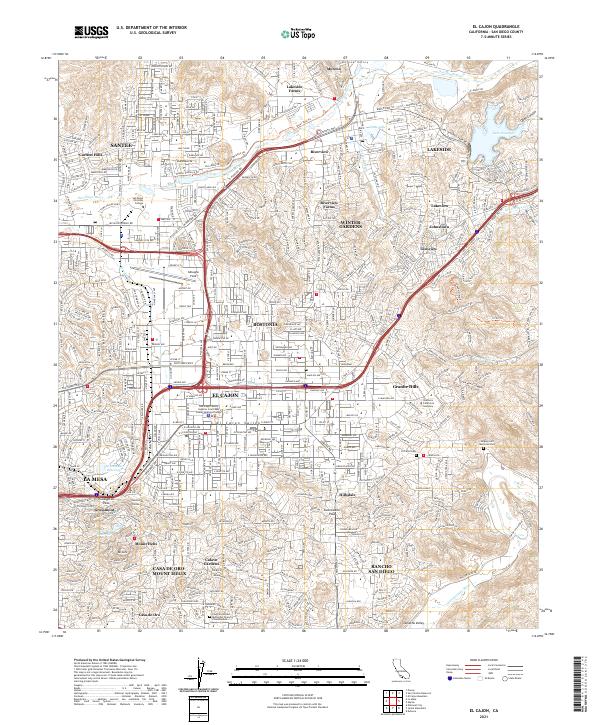
The El Cajon valley and surrounding foothills represent a significant era of post-war Southern California suburban expansion, where residential tracts like Winter Gardens and Bostonia rapidly fill the landscape between the San Diego River and the Sweetwater River. The 1967 field survey, updated with 1975 photorevisions shown in purple, highlights the conversion of agricultural lands into dense residential blocks and public infrastructure. Notable aviation and recreation history is anchored by Gillespie Field and the adjacent Cajon Speedway, while the southern slopes near Mt Helix and Calavo Gardens show a different pattern of hillside development. The map also documents extensive institutional growth, including dozens of neighborhood schools such as Lakeside Farms Sch and Granite Hills High Sch, along with specialized sites like Edgemoor Hospital and the Convent of the Sacred Heart.
Find a feature on this map
103 named features on this map. Tap any name to fly to it.
Don’t see what you’re looking for? This feature index may not catch every label — zoom into the map to look around manually.
Map Details
Editions of this 1967 El Cajon Map
7 editions found
Historical Maps of El Cajon Through Time
12 maps found
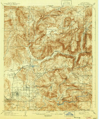
1903 El Cajon
San Diego County, CA
1939 El Cajon
San Diego County, CA

1942 El Cajon
San Diego County, CA
1947 El Cajon
San Diego County, CA
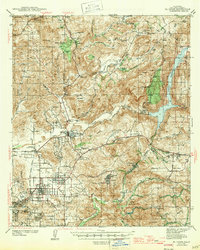
1955 El Cajon
San Diego County, CA
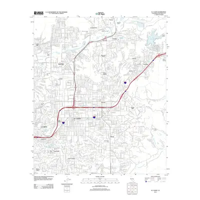
1967 El Cajon
San Diego County, CA

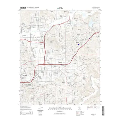
1979 El Cajon
San Diego County, CA
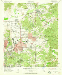
1996 El Cajon
San Diego County, CA
2012 El Cajon
San Diego County, CA
2015 El Cajon
San Diego County, CA
2018 El Cajon
San Diego County, CA
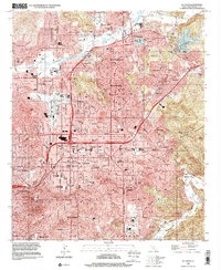
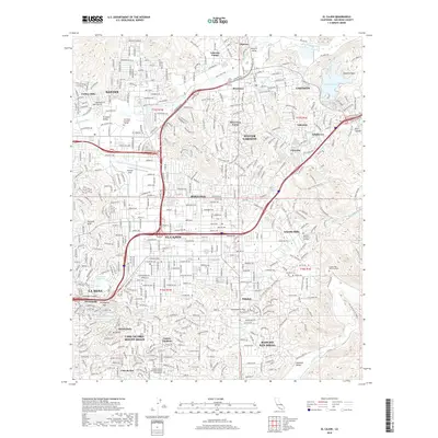
2021 El Cajon
San Diego County, CA