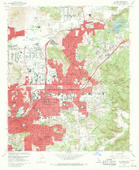
1967 Map of El Cajon
USGS Topo · Published 1975About this map
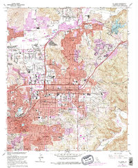
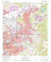
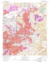
The San Diego River corridor defines the landscape of eastern San Diego County during this period of mid-century expansion, where agriculture and early suburbanization meet. Residential clusters like Winter Gardens and Bostonia appear alongside established institutions such as Edgemoor Hospital and the Convent of the Sacred Heart. The prominence of Gillespie Field, complete with its Control Tower and the nearby Cajon Speedway, highlights the region's post-war shift toward aviation and leisure infrastructure.
Find a feature on this map
134 named features on this map. Tap any name to fly to it.
Don’t see what you’re looking for? This feature index may not catch every label — zoom into the map to look around manually.
Map Details
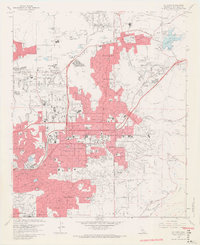
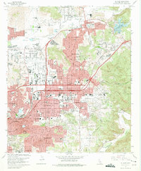
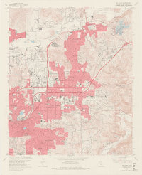
Editions of this 1967 El Cajon Map
7 editions found
Other maps of this area

1893 · El Cajon
USGS Topo · 1:62,500

1901 · Elcajon
USGS Topo · 1:62,500

1903 · Cuyamaca
USGS Topo · 1:125,000

1903 · La Jolla
USGS Topo · 1:62,500

1903 · Elcajon
USGS Topo · 1:62,500

1904 · San Diego
USGS Topo · 1:62,500

1904 · Southern California Sheet No. 2
USGS Topo · 1:250,000

1930 · La Jolla
USGS Topo · 1:62,500

1930 · San Diego
USGS Topo · 1:62,500

1939 · El Cajon
USGS Topo · 1:62,500