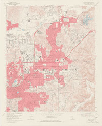
1967 Map of El Cajon
USGS Topo · Published 1969About this map
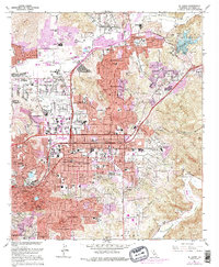
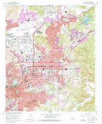
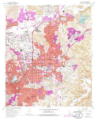
El Cajon and its neighboring valleys are depicted during a period of rapid suburban expansion in the late 1960s. The pink-shaded urban development radiates from the central hub near City Hall and Broadway, pushing into the surrounding foothills and canyons. Significant institutional landmarks include the St Francis Seminary, the Convent of the Sacred Heart, and the Edgemoor Hospital complex. To the north, Gillespie Field and the adjacent Cajon Speedway highlight the region's aviation and recreation history, while the San Diego River bottom shows active Gravel Pits and extensive sand extraction operations.
Find a feature on this map
79 named features on this map. Tap any name to fly to it.
Don’t see what you’re looking for? This feature index may not catch every label — zoom into the map to look around manually.
Map Details
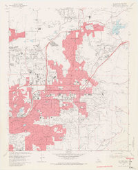
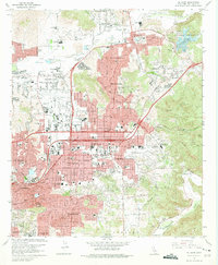
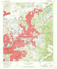
Editions of this 1967 El Cajon Map
7 editions found
Other maps of this area

1893 · El Cajon
USGS Topo · 1:62,500

1901 · Elcajon
USGS Topo · 1:62,500

1903 · Cuyamaca
USGS Topo · 1:125,000

1903 · La Jolla
USGS Topo · 1:62,500

1903 · Elcajon
USGS Topo · 1:62,500

1904 · San Diego
USGS Topo · 1:62,500

1904 · Southern California Sheet No. 2
USGS Topo · 1:250,000

1930 · La Jolla
USGS Topo · 1:62,500

1930 · San Diego
USGS Topo · 1:62,500

1939 · El Cajon
USGS Topo · 1:62,500