
1967 Map of El Cajon
USGS Topo · Published 1969About this map
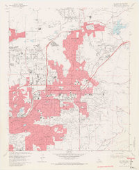
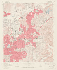
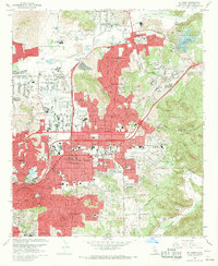
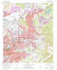
El Cajon and its surrounding suburban valleys are captured in late-1960s detail, showing a landscape defined by rapid post-war residential expansion and complex water management. The urban core of El Cajon is bounded by prominent topographical features like Mt Helix and the Granite Hills, with the San Diego River and Sweetwater River carving the northern and southern limits of the study area. This era reflects the maturation of neighborhoods like Winter Gardens, Bostonia, and Carlton Hills, all of which are anchored by a dense network of civic institutions including Santana High Sch and Edgemoor Hospital. Aviation and recreation play significant roles in the local economy, evidenced by the large footprint of Gillespie Field and the recreational development around Lake Jennings and the Singing Hills Golf Course. Religious and educational landmarks, such as St Francis Seminary and the Convent of the Sacred Heart, provide important genealogical touchstones in the eastern hills.
Find a feature on this map
72 named features on this map. Tap any name to fly to it.
Don’t see what you’re looking for? This feature index may not catch every label — zoom into the map to look around manually.
Map Details
Editions of this 1967 El Cajon Map
7 editions found


Other maps of this area

1893 · El Cajon
USGS Topo · 1:62,500

1901 · Elcajon
USGS Topo · 1:62,500

1903 · Cuyamaca
USGS Topo · 1:125,000

1903 · La Jolla
USGS Topo · 1:62,500

1903 · Elcajon
USGS Topo · 1:62,500

1904 · San Diego
USGS Topo · 1:62,500

1904 · Southern California Sheet No. 2
USGS Topo · 1:250,000

1930 · La Jolla
USGS Topo · 1:62,500

1930 · San Diego
USGS Topo · 1:62,500

1939 · El Cajon
USGS Topo · 1:62,500