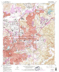
1967 Map of El Cajon
USGS Topo · Published 1976About this map
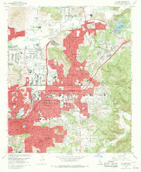
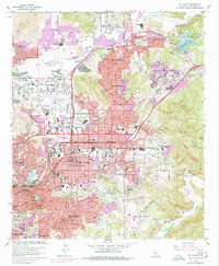
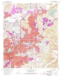
El Cajon and the surrounding inland valleys of San Diego County undergo significant suburban expansion in this mid-century period, with purple-tinted revisions highlighting the outward growth of residential tracts into Winter Gardens and Bostonia. The landscape is a mix of traditional agriculture, recreational spaces like the Lakeside Golf Course, and civic institutions ranging from Edgemoor Hospital to the Convent of the Sacred Heart. Aviation and transportation infrastructure are centered on Gillespie Field and the Cajon Speedway, while the northern reaches near Lake Jennings maintain a more open character. Water management is evident along the San Diego River and at the Cajon Park Res, supporting a complex network of neighborhoods including Carlton Hills and Santee as they transition from rural outposts to established San Diego suburbs.
Find a feature on this map
79 named features on this map. Tap any name to fly to it.
Don’t see what you’re looking for? This feature index may not catch every label — zoom into the map to look around manually.
Map Details
Editions of this 1967 El Cajon Map
7 editions found
Other maps of this area

1893 · El Cajon
USGS Topo · 1:62,500

1901 · Elcajon
USGS Topo · 1:62,500

1903 · Cuyamaca
USGS Topo · 1:125,000

1903 · La Jolla
USGS Topo · 1:62,500

1903 · Elcajon
USGS Topo · 1:62,500

1904 · San Diego
USGS Topo · 1:62,500

1904 · Southern California Sheet No. 2
USGS Topo · 1:250,000

1930 · La Jolla
USGS Topo · 1:62,500

1930 · San Diego
USGS Topo · 1:62,500

1939 · El Cajon
USGS Topo · 1:62,500