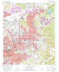
1967 Map of El Cajon
USGS Topo · Published 1978About this map
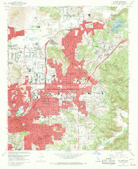
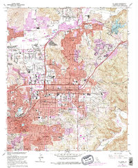
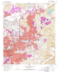
El Cajon and its surrounding communities are shown during a period of rapid suburban expansion in the late 1960s and mid-1970s. The landscape is a mix of established residential blocks and agricultural heritage, evidenced by areas like Lakeside Farms and Riverview Farms. This era is defined by the development of significant infrastructure, including Gillespie Field and the nearby Cajon Speedway, which serve as prominent regional landmarks. The map tracks the encroachment of urbanization into the foothills, with newer tracts in Santee and Winter Gardens appearing alongside older institutional sites like Edgemoor Hospital. Local life is anchored by numerous neighborhood schools and churches, such as Holy Trinity Sch and the Convent of the Sacred Heart. To the south, the terrain becomes more varied around the Sweetwater River and Calavo Gardens, where the topography begins to transition from the developed valley floor into the surrounding heights.
Find a feature on this map
96 named features on this map. Tap any name to fly to it.
Don’t see what you’re looking for? This feature index may not catch every label — zoom into the map to look around manually.
Map Details
Editions of this 1967 El Cajon Map
7 editions found
Other maps of this area

1893 · El Cajon
USGS Topo · 1:62,500

1901 · Elcajon
USGS Topo · 1:62,500

1903 · Cuyamaca
USGS Topo · 1:125,000

1903 · La Jolla
USGS Topo · 1:62,500

1903 · Elcajon
USGS Topo · 1:62,500

1904 · San Diego
USGS Topo · 1:62,500

1904 · Southern California Sheet No. 2
USGS Topo · 1:250,000

1930 · La Jolla
USGS Topo · 1:62,500

1930 · San Diego
USGS Topo · 1:62,500

1939 · El Cajon
USGS Topo · 1:62,500