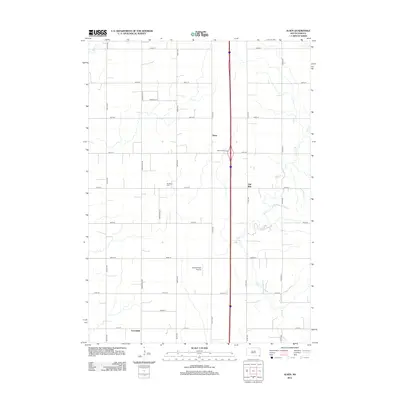
2012 Map of Alsen
USGS Topo · Published 2012About this map
The agrarian landscape of Spink Township unfolds across this survey, centered on the community of Alsen and the neighboring Hill Side. The terrain is defined by a rigorous section-line road grid, including 307th St and Rockfield Ave, which facilitates access to the surrounding farmsteads. Local history is anchored at the Rockfield Cem, a small burial ground situated west of the main settlement.
Find a feature on this map
26 named features on this map. Tap any name to fly to it.
Don’t see what you’re looking for? This feature index may not catch every label — zoom into the map to look around manually.
Map Details
Editions of this 2012 Alsen Map
This is the sole edition of this map. No revisions or reprints were ever made.
Other maps of this area

1897 · Canton
USGS Topo · 1:125,000

1898 · Elk Point
USGS Topo · 1:125,000

1900 · Canton
USGS Topo · 1:125,000

1901 · Elk Point
USGS Topo · 1:125,000

1907 · Elk Point
USGS Topo · 1:125,000

1955 · Sioux City
USGS Topo · 1:250,000

1955 · Sioux Falls
USGS Topo · 1:250,000

1958 · Sioux City
USGS Topo · 1:250,000

1958 · Sioux Falls
USGS Topo · 1:250,000

1959 · Sioux City
USGS Topo · 1:250,000