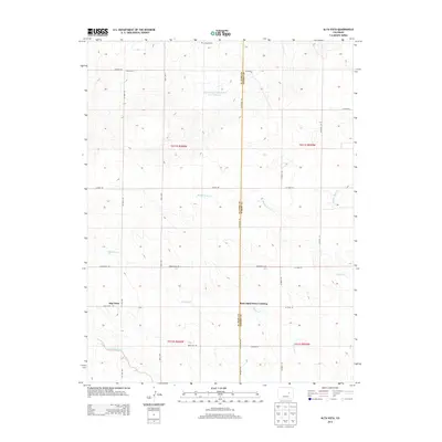
2013 Map of Alta Vista
USGS Topo · Published 2013About this map
Alta Vista sits within a wide-reaching landscape of prairie drainages and rural county roads along the border of El Paso and Elbert counties. This 2013 survey illustrates a high-plains topography defined by ephemeral watercourses such as Mustang Cr and the Middle Rush Cr, which converge and wind through the landscape toward larger basins. A solitary historical marker, the Liptrap Grave, is located at the northern edge of the sheet, providing a specific point of interest for genealogists and local historians tracking family footprints in this region. The map also documents modern water management features like the Big Sandy Cr Watershed S-17 Reservoir. A network of thoroughfares, including Simla Hwy and Oil Well Rd, connects the scattered homesteads and ranches, while the Beck Sand Draw Crossing marks a significant local navigational point in the rolling terrain.
Find a feature on this map
30 named features on this map. Tap any name to fly to it.
Don’t see what you’re looking for? This feature index may not catch every label — zoom into the map to look around manually.
Map Details
Editions of this 2013 Alta Vista Map
This is the sole edition of this map. No revisions or reprints were ever made.
Other maps of this area

1889 · Sanborn
USGS Topo · 1:125,000

1891 · Sanborn
USGS Topo · 1:125,000

1891 · Limon
USGS Topo · 1:125,000

1892 · Limon
USGS Topo · 1:125,000

1893 · Sanborn
USGS Topo · 1:125,000

1893 · Big Springs
USGS Topo · 1:125,000

1953 · Denver
USGS Topo · 1:250,000

1954 · Limon
USGS Topo · 1:250,000

1954 · Lamar
USGS Topo · 1:250,000

1954 · Pueblo
USGS Topo · 1:250,000