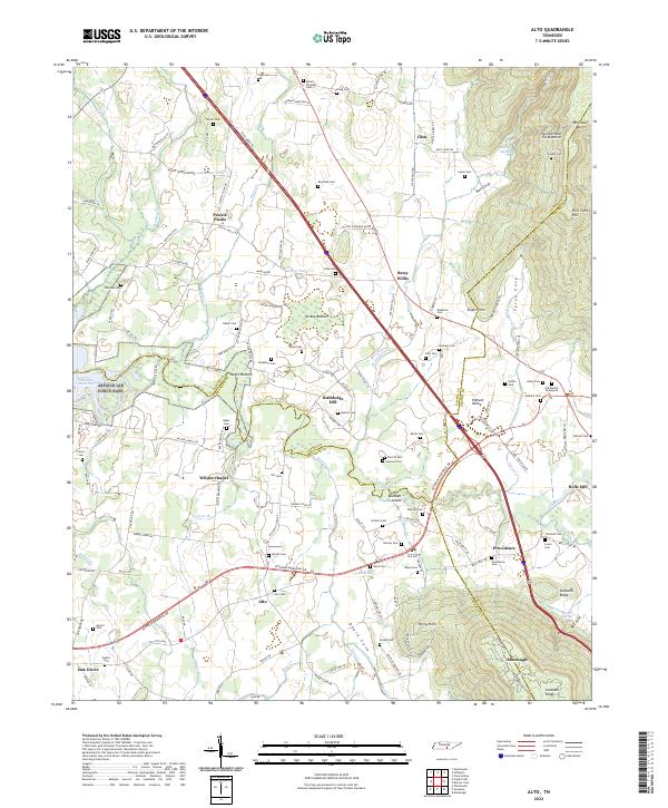
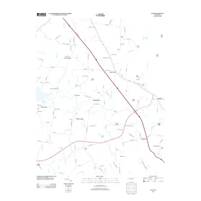
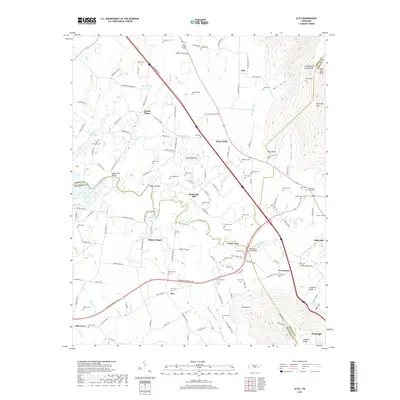
2022 Map of Alto
USGS Topo · Published 2022About this map
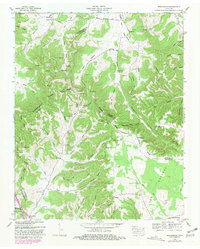
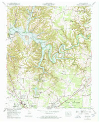
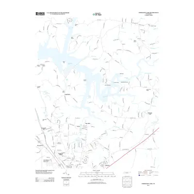
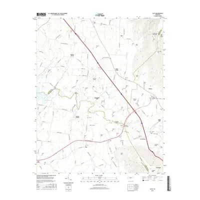
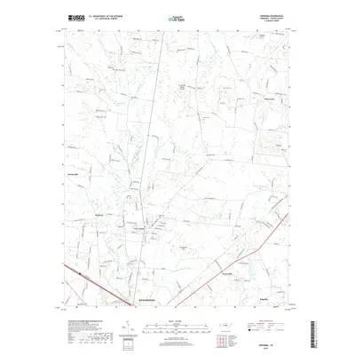
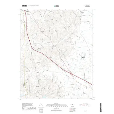
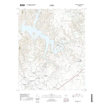
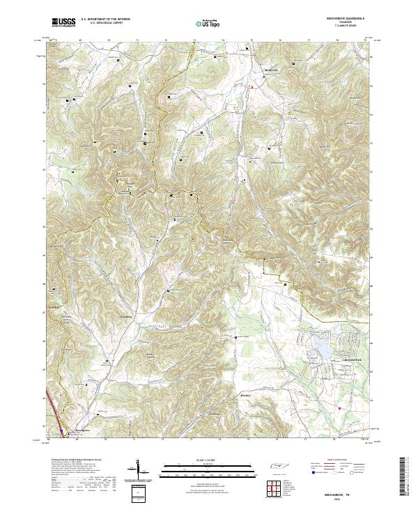
Prairie Plains and the neighboring settlements of Alto and Providence anchor this landscape where the Tennessee hills meet the dramatic Cumberland Escarpment. The terrain is defined by its deep coves and river bottoms, such as Roark Cove and Dickey Bottom, which have dictated the path of local travel for generations. Genealogists will find a high density of family-named burial sites, including Dotson Cem, Ikard Cem, and Nevill Cem, reflecting the ancestral footprints of the Pelham Valley area.
Find a feature on this map
159 named features on this map. Tap any name to fly to it.
Don’t see what you’re looking for? This feature index may not catch every label — zoom into the map to look around manually.
Map Details
Editions of this 2022 Alto Map
This is the sole edition of this map. No revisions or reprints were ever made.
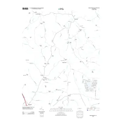
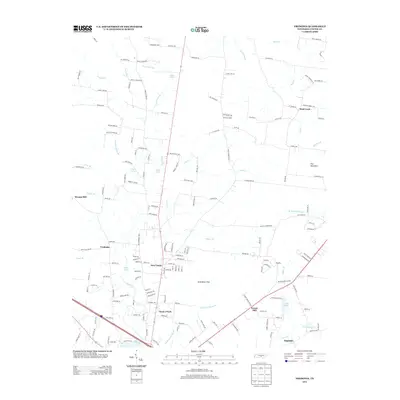
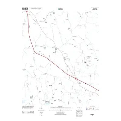
Historical Maps of Monteagle Through Time
40 maps found
1913 Hollow Springs
Coffee County, TN

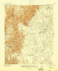
1936 Alto
Coffee County, TN
1936 Beech Grove
Coffee County, TN

1936 Fredonia
Coffee County, TN

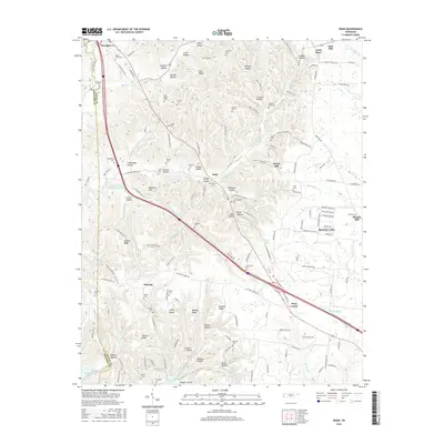
1936 Noah
Coffee County, TN

1936 Ovoca
Coffee County, TN

1941 Ovoca
Coffee County, TN
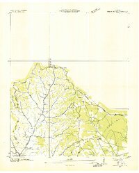
1947 Alto
Coffee County, TN
1953 Beechgrove
Coffee County, TN
1956 Fredonia
Coffee County, TN
1956 Noah
Coffee County, TN
1962 Ovoca
Coffee County, TN
1972 Ovoca
Coffee County, TN
1976 Noah
Coffee County, TN
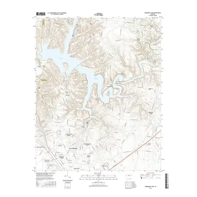
1976 Normandy Lake
Coffee County, TN
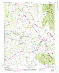
2010 Alto
Coffee County, TN
2010 Beechgrove
Coffee County, TN
2010 Fredonia
Coffee County, TN
2010 Noah
Coffee County, TN
2010 Normandy Lake
Coffee County, TN
2013 Alto
Coffee County, TN
2013 Beechgrove
Coffee County, TN
2013 Fredonia
Coffee County, TN
2013 Noah
Coffee County, TN
2013 Normandy Lake
Coffee County, TN
2016 Alto
Coffee County, TN
2016 Beechgrove
Coffee County, TN
2016 Fredonia
Coffee County, TN
2016 Noah
Coffee County, TN
2016 Normandy Lake
Coffee County, TN
2019 Alto
Coffee County, TN
2019 Beechgrove
Coffee County, TN
2019 Fredonia
Coffee County, TN
2019 Noah
Coffee County, TN
2019 Normandy Lake
Coffee County, TN
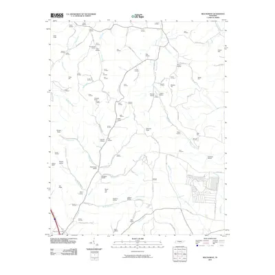
2022 Alto
Coffee County, TN
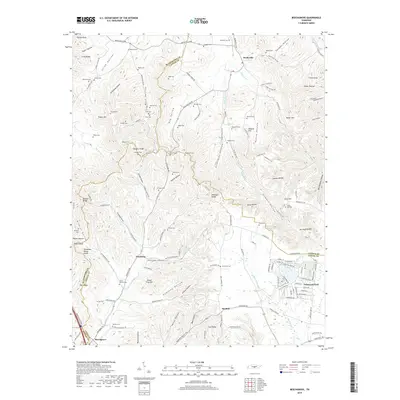
2022 Beechgrove
Coffee County, TN
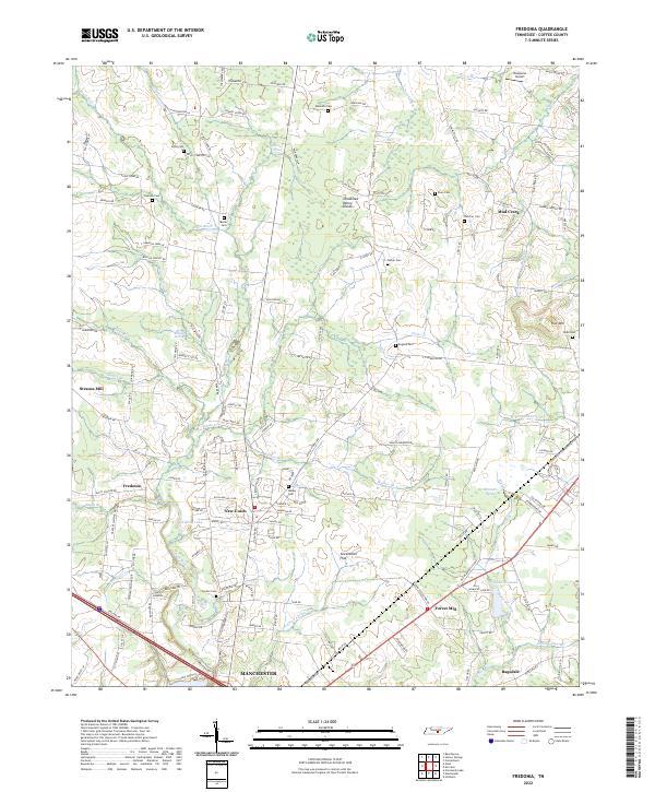
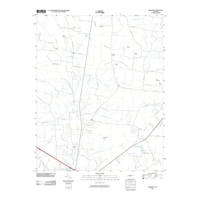
2022 Fredonia
Coffee County, TN
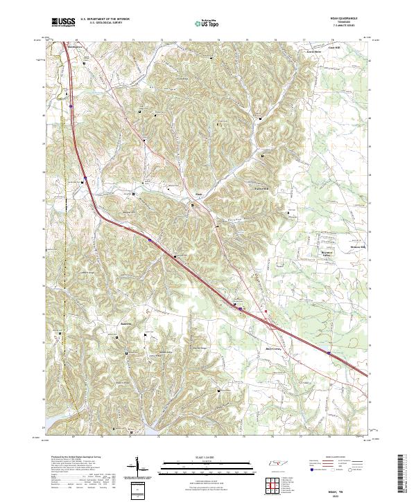
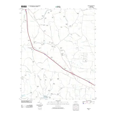
2022 Noah
Coffee County, TN
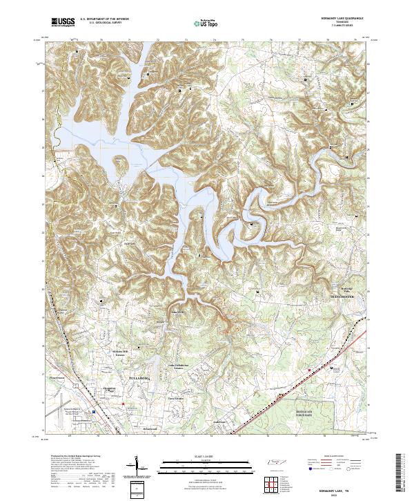
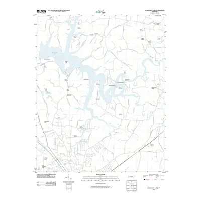
2022 Normandy Lake
Coffee County, TN