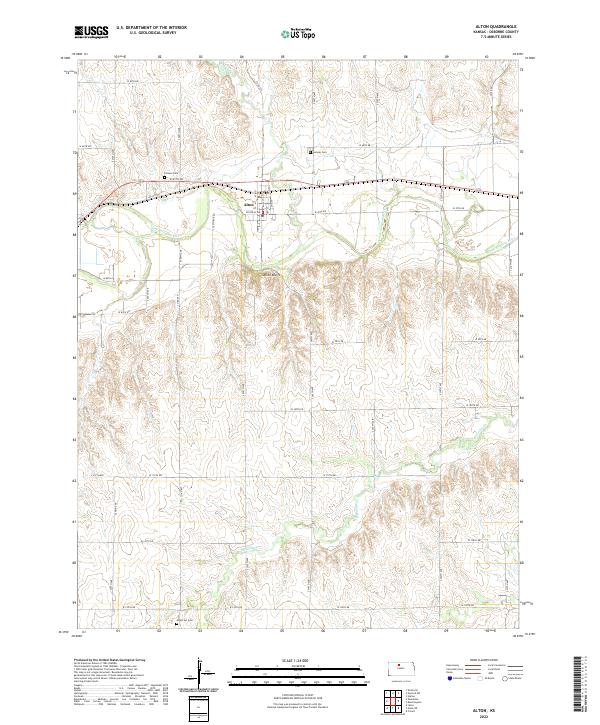
2022 Map of Alton
USGS Topo · Published 2022About this map
Alton serves as the focal point of this northern Kansas landscape, situated along the northern banks of the S Fork Solomon River. The topography is defined by the significant rise of the Alton Bluffs to the south, which separate the river valley from the higher plains where Medicine Cr originates. The map documents a structured grid of rural infrastructure, including Co RD 657 and Co RD 661, which connect the town to outlying agricultural lands. Genealogists will find notable value in the location of several historical burial grounds distributed across the townships, including Pioneer Cem west of town, Sumner Cem to the northeast, and Mount Ayr Cem at the southern edge of the survey area. These sites, along with the proximity of Crooked Cr, trace the early footprint of settlement in Osborne County.
Find a feature on this map
42 named features on this map. Tap any name to fly to it.
Don’t see what you’re looking for? This feature index may not catch every label — zoom into the map to look around manually.
Map Details
Editions of this 2022 Alton Map
This is the sole edition of this map. No revisions or reprints were ever made.
Other maps of this area

1893 · Smith Center
USGS Topo · 1:125,000

1893 · Phillipsburg
USGS Topo · 1:125,000

1896 · Osborne
USGS Topo · 1:125,000

1896 · Plainville
USGS Topo · 1:125,000

1953 · Bloomington
USGS Topo · 1:24,000

1953 · Woodston
USGS Topo · 1:24,000

1953 · Alton
USGS Topo · 1:24,000

1955 · Beloit
USGS Topo · 1:250,000

1959 · Beloit
USGS Topo · 1:250,000

1961 · Kirwin SE
USGS Topo · 1:24,000