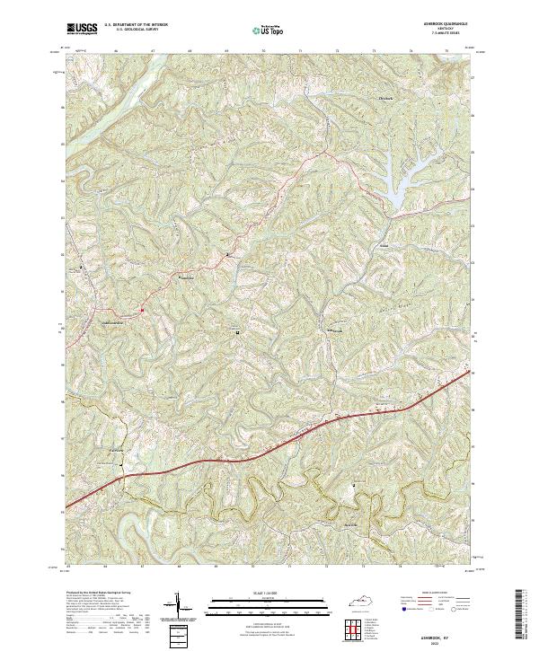
2022 Map of Alton Station
USGS Topo · Published 2022About this map
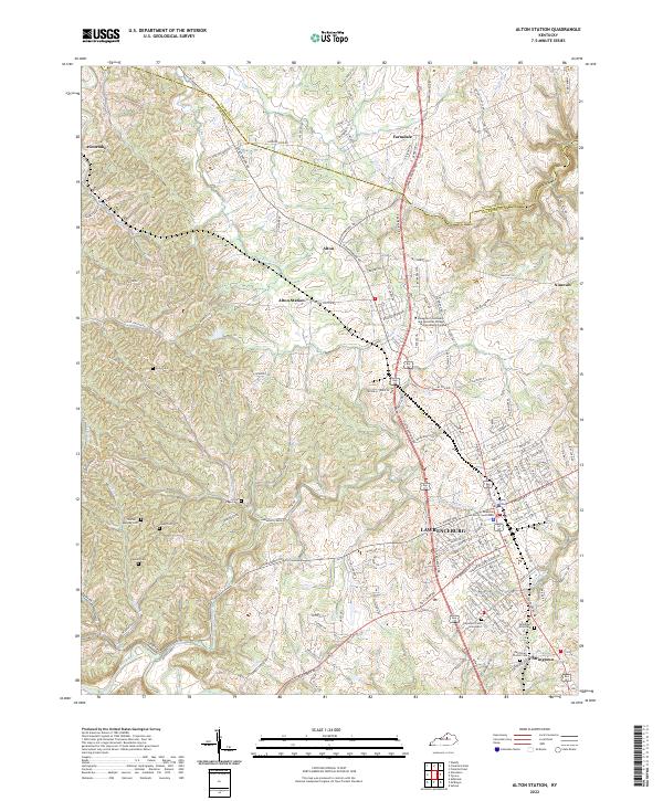
Lawrenceburg serves as the focal point of this Anderson County landscape, where the Anderson County Courthouse stands at the center of a dense street grid. The map illustrates the transition from the city’s industrial and educational centers, such as the Bluegrass Community and Technical College - Lawrenceburg Campus, to the smaller outlying communities of Alton Station and Avenstoke. This geography is defined by a dense network of country roads like Grafenburg Rd and Ninevah Rd that connect rural homesteads and family burial grounds.
Find a feature on this map
143 named features on this map. Tap any name to fly to it.
Don’t see what you’re looking for? This feature index may not catch every label — zoom into the map to look around manually.
Map Details
Editions of this 2022 Alton Station Map
This is the sole edition of this map. No revisions or reprints were ever made.
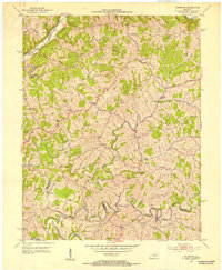
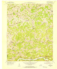
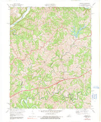
Historical Maps of Alton Through Time
6 maps found