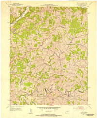
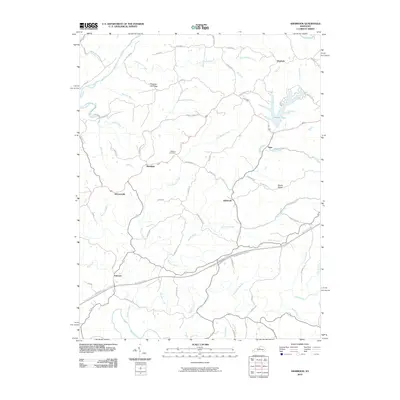
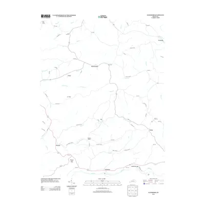
1952 Map of Ashbrook
USGS Topo · Published 1953About this map
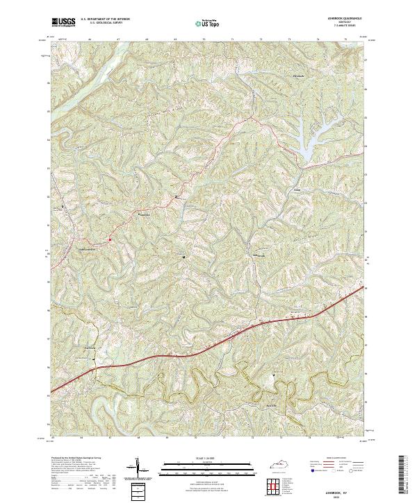
The Salt River meanders through the northwest corner of this terrain, while the central landscape is defined by the prominent Baxter Ridge. This 1952 field-checked survey reveals a mid-century rural Kentucky landscape characterized by small, ridge-top settlements and numerous community landmarks. Central to the area is the namesake Ashbrook, surrounded by a network of local institutions like Henrys Chapel and Searcy Sch. The map documents a high density of small-scale educational and religious sites including Western Sch, Friendship Ch, and New Liberty Ch, which often served as the primary social hubs for scattered homesteads. To the east, the community of Drydock sits near the headwaters of Brush Creek, while the southwestern section shows the winding course of the Chaplin River. This record preserves the location of many family-named landmarks and rural schoolhouses that have evolved or moved in the decades following this survey.
Find a feature on this map
42 named features on this map. Tap any name to fly to it.
Don’t see what you’re looking for? This feature index may not catch every label — zoom into the map to look around manually.
Map Details
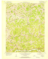
Editions of this 1952 Ashbrook Map
This is the sole edition of this map. No revisions or reprints were ever made.
Historical Maps of Klondyke Through Time
18 maps found
1952 Ashbrook
Anderson County, KY
1954 Glensboro
Anderson County, KY
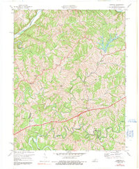
1972 Ashbrook
Anderson County, KY
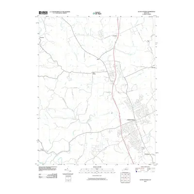
2010 Alton Station
Anderson County, KY
2010 Ashbrook
Anderson County, KY
2010 Glensboro
Anderson County, KY
2013 Alton Station
Anderson County, KY
2013 Ashbrook
Anderson County, KY
2013 Glensboro
Anderson County, KY
2016 Alton Station
Anderson County, KY

2016 Ashbrook
Anderson County, KY

2016 Glensboro
Anderson County, KY
2019 Alton Station
Anderson County, KY
2019 Ashbrook
Anderson County, KY

2019 Glensboro
Anderson County, KY
2022 Alton Station
Anderson County, KY
2022 Ashbrook
Anderson County, KY

2022 Glensboro
Anderson County, KY