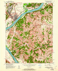
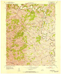
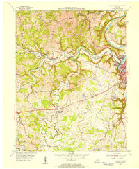
1951 Map of Lawrenceburg
USGS Topo · Published 1961About this map
Lawrenceburg serves as the industrial and transport focal point at the confluence where the Miami River meets the Ohio River. In the early 1950s, the town's footprint is defined by a dense street grid and the critical path of the Baltimore and Ohio railroad, while suburban clusters like Greendale and Hardentown expand the settlement north. Across the river in Kentucky, the terrain shifts into a series of deeply incised creek valleys, including Woolper Creek and Garrison Creek, where the settlement pattern becomes agrarian and dispersed.
Find a feature on this map
43 named features on this map. Tap any name to fly to it.
Don’t see what you’re looking for? This feature index may not catch every label — zoom into the map to look around manually.
Map Details
Editions of this 1951 Lawrenceburg Map
This is the sole edition of this map. No revisions or reprints were ever made.
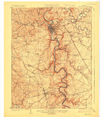
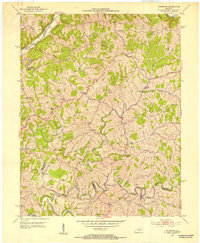
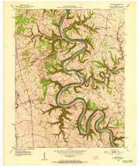
Other maps of this area

1905 · Harrodsburg
USGS Topo · 1:125,000

1922 · Frankfort
USGS Topo · 1:48,000

1923 · Waddy
USGS Topo · 1:48,000
1924 · Frankfort
USGS Topo · 1:62,500

1925 · Mount Eden
USGS Topo · 1:48,000

1927 · Mount Eden
USGS Topo · 1:62,500
1952 · Ashbrook
USGS Topo · 1:24,000
1952 · Salvisa
USGS Topo · 1:24,000
1952 · Mc Brayer
USGS Topo · 1:24,000
1953 · Frankfort West
USGS Topo · 1:24,000