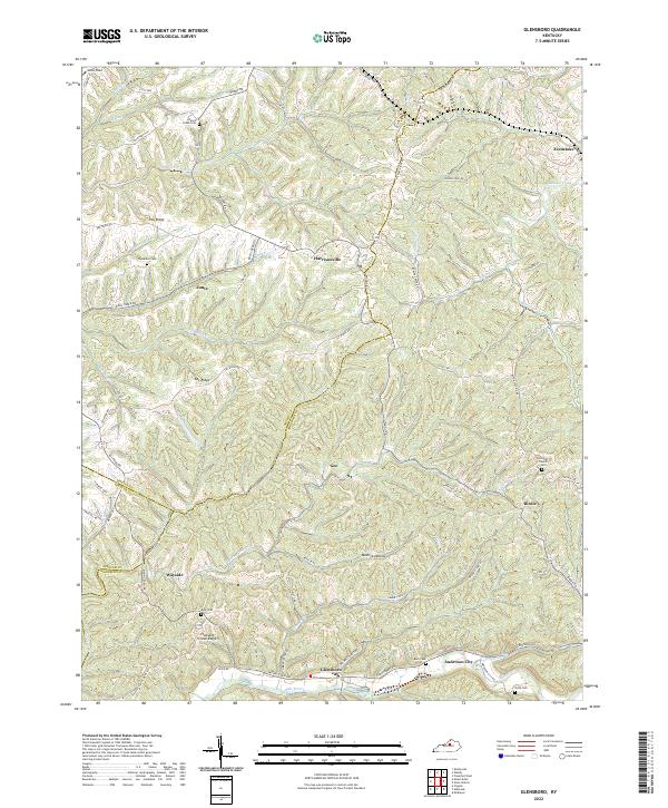
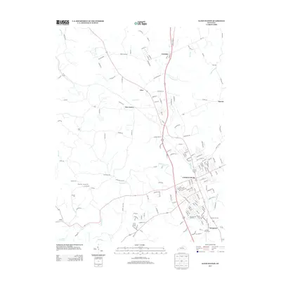
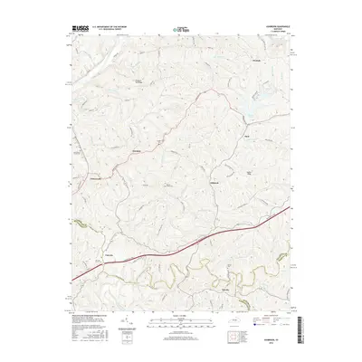
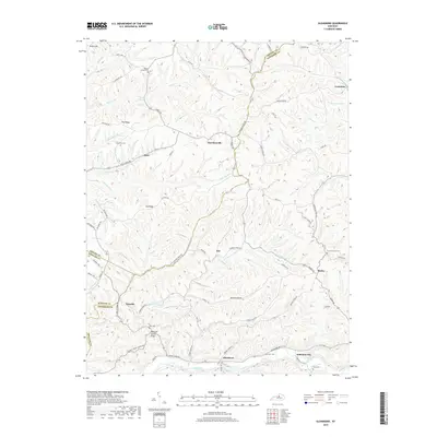
2022 Map of Glensboro
USGS Topo · Published 2022About this map
The Salt River carves through the southern landscape of this region, where the community of Glensboro sits near the riverbanks. This area of Anderson County is defined by a dense network of ridges and hollows, including Pleasant Grove Ridge and Mudlick Hollow, which dictate the winding paths of rural routes like Mount Eden Rd and Browns Store Rd. The map reveals a high concentration of family-linked landmarks and small rural settlements such as Harrisonville, Birdie, and Wayside.
Find a feature on this map
77 named features on this map. Tap any name to fly to it.
Don’t see what you’re looking for? This feature index may not catch every label — zoom into the map to look around manually.
Map Details
Editions of this 2022 Glensboro Map
This is the sole edition of this map. No revisions or reprints were ever made.
Historical Maps of Glensboro Through Time
18 maps found
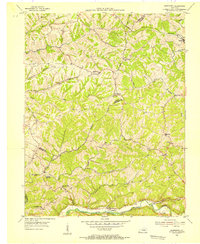
1952 Ashbrook
Anderson County, KY
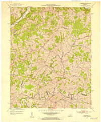
1954 Glensboro
Anderson County, KY
1972 Ashbrook
Anderson County, KY
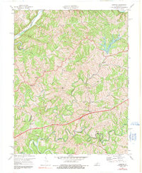
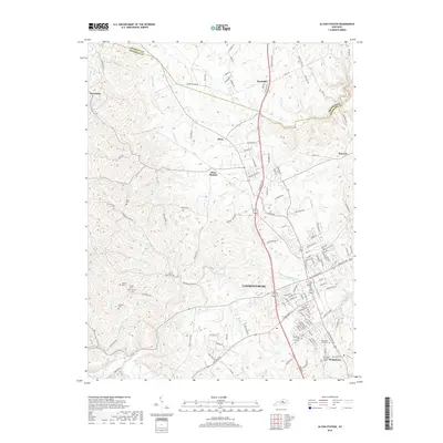
2010 Alton Station
Anderson County, KY
2010 Ashbrook
Anderson County, KY
2010 Glensboro
Anderson County, KY
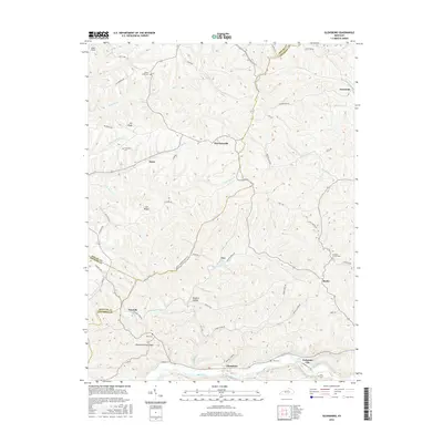
2013 Alton Station
Anderson County, KY
2013 Ashbrook
Anderson County, KY
2013 Glensboro
Anderson County, KY
2016 Alton Station
Anderson County, KY
2016 Ashbrook
Anderson County, KY
2016 Glensboro
Anderson County, KY
2019 Alton Station
Anderson County, KY
2019 Ashbrook
Anderson County, KY
2019 Glensboro
Anderson County, KY
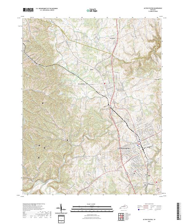
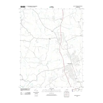
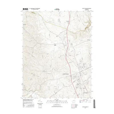
2022 Alton Station
Anderson County, KY
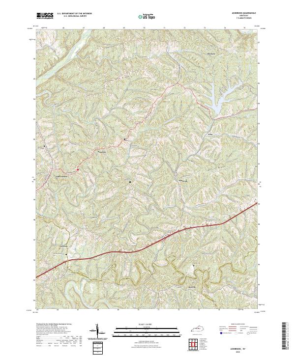
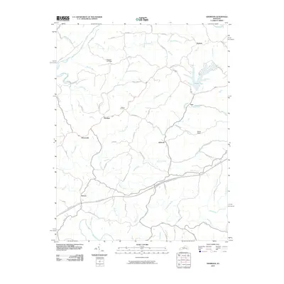
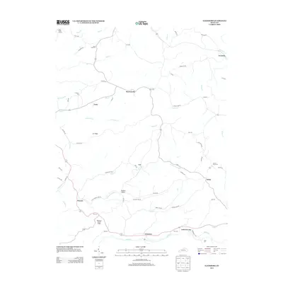
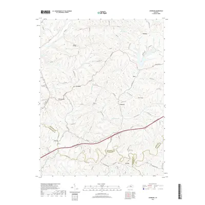
2022 Ashbrook
Anderson County, KY
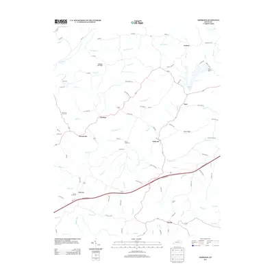
2022 Glensboro
Anderson County, KY