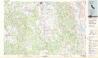
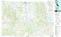
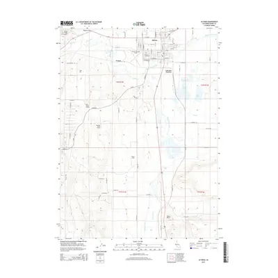
1983 Map of Alturas
USGS Topo · Published 1983About this map
Alturas serves as the focal point of this northeastern California landscape, where the Pit River and its various forks converge near the Modoc National Wildlife Refuge. The terrain is defined by the massive uplift of the Warner Mountains, separating the high volcanic plateau from the dramatic desert basin of Surprise Valley to the east. The Southern Pacific railroad tracks trace a critical north-south corridor through the Pit River Valley, connecting the small ranching and timber outposts of Likely and Madeline.
Find a feature on this map
79 named features on this map. Tap any name to fly to it.
Don’t see what you’re looking for? This feature index may not catch every label — zoom into the map to look around manually.
Map Details
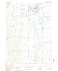
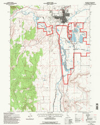
Editions of this 1983 Alturas Map
2 editions found
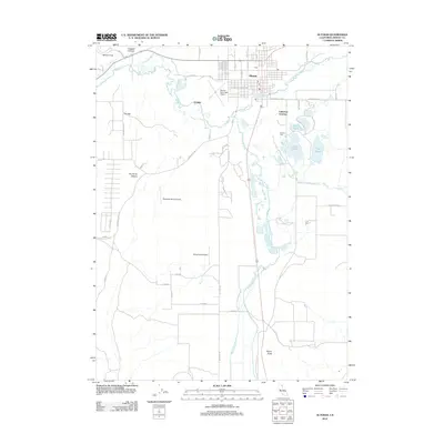
Historical Maps of Alturas Through Time
14 maps found

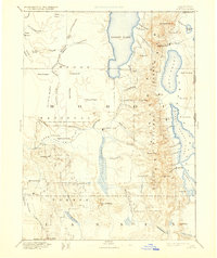
1886 Alturas
Modoc County, CA
1892 Alturas
Modoc County, CA
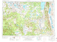
1954 Alturas
Modoc County, CA

1958 Alturas
Modoc County, CA
1961 Alturas
Modoc County, CA

1962 Alturas
Modoc County, CA

1965 Alturas
Modoc County, CA
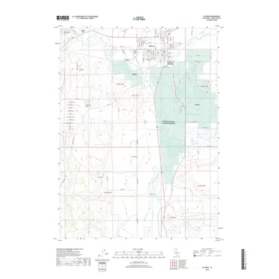
1983 Alturas
Modoc County, CA
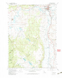
1990 Alturas
Modoc County, CA
1993 Alturas
Modoc County, CA
2012 Alturas
Modoc County, CA
2015 Alturas
Modoc County, CA
2018 Alturas
Modoc County, CA
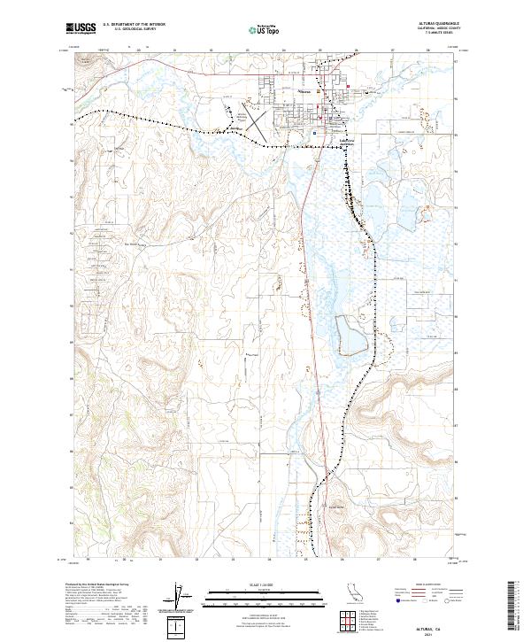
2021 Alturas
Modoc County, CA