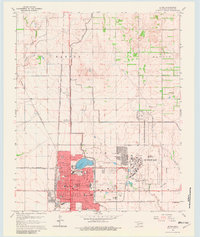
1985 Map of Altus
USGS Topo · Published 1990About this map
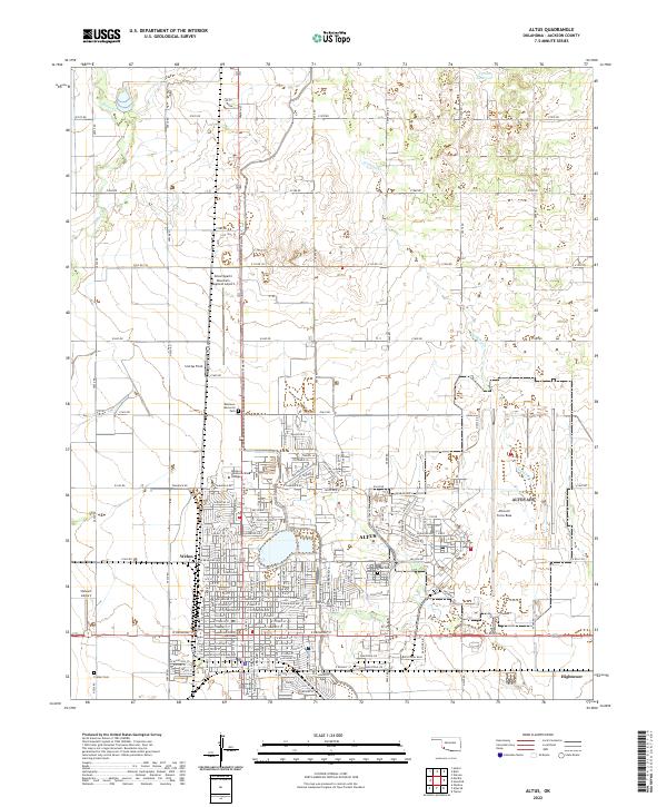
Altus serves as the primary regional hub in this mid-1980s survey, flanked by the sprawling operations of Altus Air Force Base and the Municipal Airport. The landscape is defined by the convergence of the North Fork Red River, Salt Fork Red River, and Elm Fork Red River, which carve through the plains toward the main Red River corridor at the Texas border. Prominent elevations like Quartz Mountain and Navajoe Mountain rise sharply from the surrounding flatlands, anchoring recreation areas at Quartz Mountain State Park and Great Plains State Park. This era shows a well-established transportation network, where the Atchison Topeka and Santa Fe Railway and St Louis-San Francisco Railway intersect with major routes like U.S. 283, connecting outlying settlements such as Mangum, Hollis, and Gould.
Find a feature on this map
73 named features on this map. Tap any name to fly to it.
Don’t see what you’re looking for? This feature index may not catch every label — zoom into the map to look around manually.
Map Details
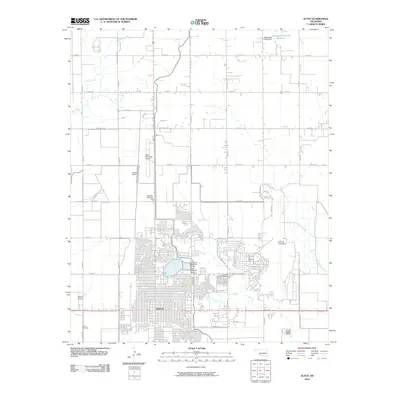
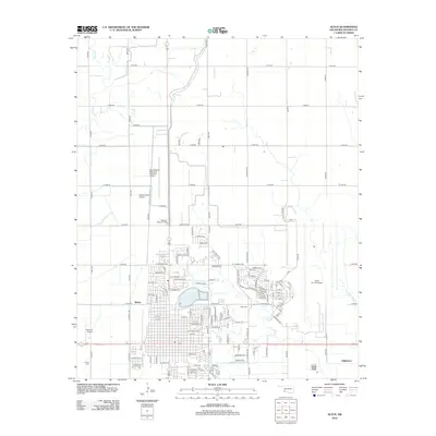
Editions of this 1985 Altus Map
2 editions found

Historical Maps of Altus Through Time
7 maps found