
Historical Maps of Kiowa County, Oklahoma
What stories do these 85 old maps tell about Kiowa County's past? From 1949 to present day, these maps reveal the evolution of streets, neighborhoods, iconic landmarks, and natural features in stunning high-res detail. Whether you're a history enthusiast, genealogist, or professional in education, environmental work, or architecture, these maps are perfect for exploration, research, and discovery.
Discover Kiowa County's history through maps:
- Trace Kiowa County's growth: Explore earlier and latest maps and editions to uncover how the region changed over time.
- Examine technical details: Each map includes its creators, publishers, scale, dimensions, and full source information.
- Layer maps with modern tools & imagery: Compare historical maps to modern-day with high-resolution satellite imagery and detailed LiDAR layers.
- Sourced from trusted archives: Carefully preserved and digitized by institutions like the United Stated Geological Survey and the US Library of Congress.
- Access in any format: View and explore in high resolution, download for offline use, or order a museum-quality print for yourself or a loved one.
Begin your journey into Kiowa County's history with these remarkable must-see maps.
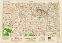
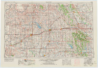
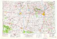
Kiowa County, OK maps
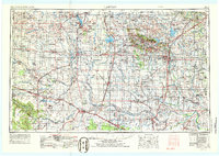
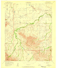
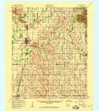
(85)- 1949 Map of Cooperton, 1953 Print
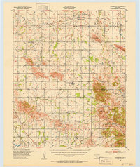 1949 Cooperton1953 Print · USGSCovers Kiowa County, including Cooperton, Sedan, and other nearby areas
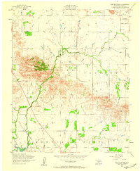
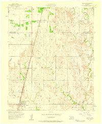
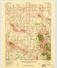
 - 1950 Map of Snyder, 1953 Print
 1950 Snyder1953 Print · USGSCovers Kiowa County, including Snyder, Mountain Park, and other nearby areas
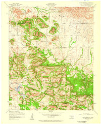
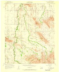
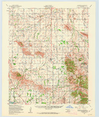
 - 1950 Map of Saddle Mountain, 1953 Print
 1950 Saddle Mountain1953 Print · USGSCovers Kiowa County, including Alden, Lawtonka Acres, and other nearby areas
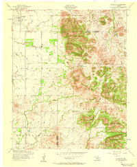
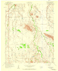
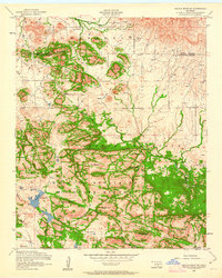
 - 1955 Map of Lawton, 1958 Print
 1955 Lawton1958 Print · USGSCovers Kiowa County, including Lawton, Duncan, and other nearby areas
 - 1955 Map of Lawton, 1963 Print
 1955 Lawton1963 Print · USGSCovers Kiowa County, including Lawton, Duncan, and other nearby areas
 - 1955 Map of Clinton, 1964 Print
 1955 Clinton1964 Print · USGSCovers Kiowa County, including El Reno, Chickasha, and other nearby areas
 - 1955 Map of Clinton, 1973 Print
 1955 Clinton1973 Print · USGSCovers Kiowa County, including El Reno, Chickasha, and other nearby areas
 - 1955 Map of Lawton, 1976 Print
 1955 Lawton1976 Print · USGSCovers Kiowa County, including Lawton, Duncan, and other nearby areas
 - 1955 Map of Lawton, 1986 Print
 1955 Lawton1986 Print · USGSCovers Kiowa County, including Lawton, Duncan, and other nearby areas
 - 1956 Map of Glen Mountains, 1959 Print
 1956 Glen Mountains1959 Print · USGSCovers Kiowa County, including Cooperton, United States, and other nearby areas
 - 1956 Map of Saddle Mountain, 1959 Print
 1956 Saddle Mountain1959 Print · USGSCovers Kiowa County, including Comanche County, United States, and other nearby areas
 - 1956 Map of Cooperton, 1959 Print
 1956 Cooperton1959 Print · USGSCovers Kiowa County, including Cooperton, Comanche County, and other nearby areas
 - 1956 Map of Alden, 1959 Print
 1956 Alden1959 Print · USGSCovers Kiowa County, including Alden, Caddo County, and other nearby areas
 - 1956 Map of Manitou, 1959 Print
 1956 Manitou1959 Print · USGSCovers Kiowa County, including Manitou, Tillman County, and other nearby areas
 - 1956 Map of Bally Mountain, 1959 Print
 1956 Bally Mountain1959 Print · USGSCovers Kiowa County, including United States, Oklahoma, and other nearby areas
 - 1956 Map of Unap Mountain, 1959 Print
 1956 Unap Mountain1959 Print · USGSCovers Kiowa County, including Sedan, United States, and other nearby areas
 - 1956 Map of Snyder, 1959 Print
 1956 Snyder1959 Print · USGSCovers Kiowa County, including Snyder, Mountain Park, and other nearby areas
 - 1956 Map of Indiahoma, 1959 Print
 1956 Indiahoma1959 Print · USGSCovers Kiowa County, including Indiahoma, Comanche County, and other nearby areas
 - 1956 Map of Rainy Mountain Creek, 1959 Print
 1956 Rainy Mountain Creek1959 Print · USGSCovers Kiowa County, including United States, Oklahoma, and other nearby areas
 - 1956 Map of Meers, 1959 Print
 1956 Meers1959 Print · USGSCovers Kiowa County, including Lawtonka Acres, Meers, and other nearby areas
 - 1956 Map of Snyder, 1960 Print
 1956 Snyder1960 Print · USGSCovers Kiowa County, including Snyder, Mountain Park, and other nearby areas
 - 1956 Map of Saddle Mountain, 1960 Print
 1956 Saddle Mountain1960 Print · USGSCovers Kiowa County, including Alden, Lawtonka Acres, and other nearby areas
 - 1956 Map of Cooperton, 1960 Print
 1956 Cooperton1960 Print · USGSCovers Kiowa County, including Cooperton, Sedan, and other nearby areas
 - 1956 Map of Cooperton, 1963 Print
 1956 Cooperton1963 Print · USGSCovers Kiowa County, including Cooperton, Sedan, and other nearby areas
 - 1956 Map of Saddle Mountain, 1963 Print
 1956 Saddle Mountain1963 Print · USGSCovers Kiowa County, including Comanche County, United States, and other nearby areas
Showing maps 1-25 of 85
Top cities in Kiowa County
- Hobart historical maps
- Snyder historical maps
- Mountain View historical maps
- Lone Wolf historical maps
- Mountain Park historical maps
- Roosevelt historical maps
See more
Frequently asked questions
- What are the different types of historical maps available for Kiowa County?
- What is the oldest map of Kiowa County?
- Where can I purchase historical maps of Kiowa County for my home or office?
- Where can I download high-res historical maps of Kiowa County?
- Are there historical topographic maps available for Kiowa County?
- Is there historical aerial imagery available for Kiowa County?
- Where are historical maps of Kiowa County sourced from?