Loading...
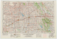
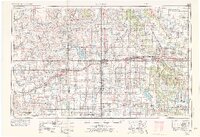
Loading map...1955 Map of Clinton
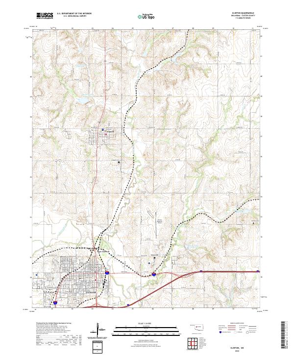
USGS Topo · Published 1973About this map
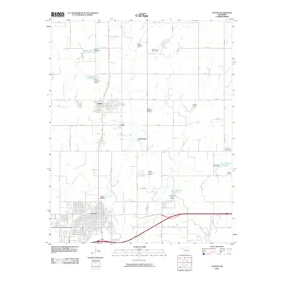
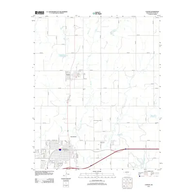
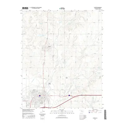
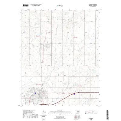
Clinton and Anadarko anchor this mid-century portrait of western Oklahoma, where the Washita River and the North Canadian River carve through the plains. The landscape is defined by its transit corridors and water management, featuring the recently established Washita National Wildlife Refuge and large man-made bodies of water like Fort Cobb Reservoir and Foss Reservoir. These reservoirs, along with smaller landmarks such as Clinton Lake, reflect the mid-century push for regional irrigation and flood control in the Red River basin.
Find a feature on this map
146 named features on this map. Tap any name to fly to it.
Don’t see what you’re looking for? This feature index may not catch every label — zoom into the map to look around manually.
Map Details
Date Portrayed1955
Date Published1973
PublisherU.S. Geological Survey
Map TypeTopographic
Scale1:250,000
Physical Dimensions32.6 x 22.6 inches
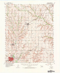
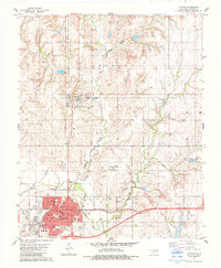
Editions of this 1955 Clinton Map
3 editions found

Historical Maps of El Reno Through Time
9 maps found

Featured Locations
Source Details
SourceU.S. Geological Survey
CopyrightPublic Domain