
1895 Map of Kingfisher
USGS Topo · Published 1895About this map
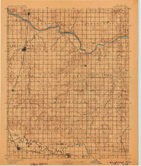
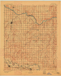
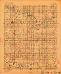
Kingfisher serves as a primary hub in the Oklahoma Territory landscape of the early 1890s, situated at the junction of the Chicago Rock Island and Pacific RR and Kingfisher Creek. The area is defined by the winding paths of the Cimarron River to the north and the North Fork of Canadian River to the south. Early river crossings are preserved through labels such as Gould Ford, Kirby Ford, and Rudd Ford, indicating the vital importance of these points before extensive bridge building.
Find a feature on this map
67 named features on this map. Tap any name to fly to it.
Don’t see what you’re looking for? This feature index may not catch every label — zoom into the map to look around manually.
Map Details
Editions of this 1895 Kingfisher Map
4 editions found
Other maps of this area

1892 · Moore
USGS Topo · 1:62,500

1892 · Guthrie
USGS Topo · 1:62,500

1892 · Edmond
USGS Topo · 1:62,500

1892 · Kingfisher
USGS Topo · 1:125,000

1893 · Fort Reno
USGS Topo · 1:62,500

1893 · Mulhall
USGS Topo · 1:62,500

1893 · Oklahoma City
USGS Topo · 1:62,500

1893 · Lovell
USGS Topo · 1:62,500

1893 · Buggy Creek
USGS Topo · 1:62,500

1893 · Hennessey
USGS Topo · 1:62,500