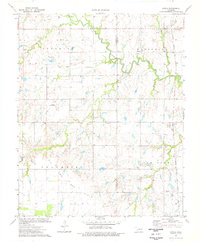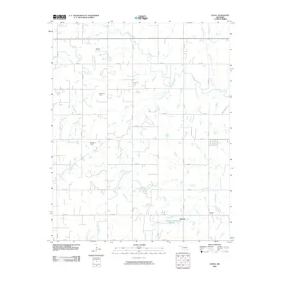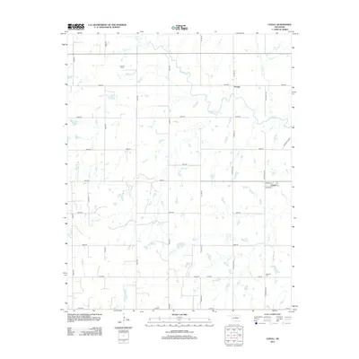
1893 Map of Lovell
USGS Topo · Published 1893About this map
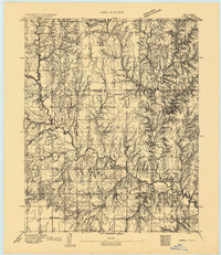
Marshall and Sheridan anchor this 1893 landscape, which captures a moment of early Oklahoma Territory development shortly after the initial land runs. Surveyed by H.B. Blair under Chief Topographer Henry Gannett, the map details a network of early settlements including Bowman, Standard, and Columbia before later municipal reorganizations and the arrival of major rail lines. The topography is dominated by the winding path of Skeleton Creek and its many tributaries, such as Lyon Creek and Cottonwood Creek, which cut through the drainage basins of Skeleton and Antelope.
Find a feature on this map
20 named features on this map. Tap any name to fly to it.
Don’t see what you’re looking for? This feature index may not catch every label — zoom into the map to look around manually.
Map Details
Editions of this 1893 Lovell Map
This is the sole edition of this map. No revisions or reprints were ever made.
Historical Maps of Marshall Through Time
7 maps found