1893 Map of Mulhall
USGS Topo · Published 1893About this map
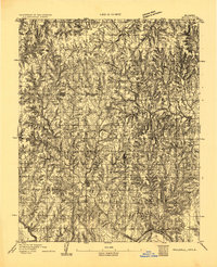
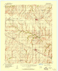
The town of Mulhall sits at the heart of this late-nineteenth-century survey, surrounded by the dissected prairie and draws of central Oklahoma. Surveyed by H.B. Blair and W.C. Frye under Chief Topographer Henry Gannett, this sheet documents the landscape just a few years after the initial land runs. To the north, the settlement of Orlando is established near the Noble Co Logan Co Boundary Line, while the southeastern corner is defined by the winding course of the Cimarron River.
Find a feature on this map
7 named features on this map. Tap any name to fly to it.
Don’t see what you’re looking for? This feature index may not catch every label — zoom into the map to look around manually.
Map Details
Editions of this 1893 Mulhall Map
This is the sole edition of this map. No revisions or reprints were ever made.
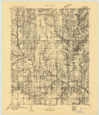
Other maps of this area
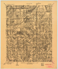
1892 · Guthrie
USGS Topo · 1:62,500

1892 · Kingfisher
USGS Topo · 1:125,000
1893 · Lovell
USGS Topo · 1:62,500
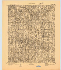
1893 · Stillwater
USGS Topo · 1:62,500

1895 · Kingfisher
USGS Topo · 1:125,000

1909 · Perkins
USGS Topo · 1:62,500

1954 · Oklahoma City
USGS Topo · 1:250,000

1955 · Enid
USGS Topo · 1:250,000
1956 · Garber
USGS Topo · 1:62,500

1957 · Oklahoma City
USGS Topo · 1:250,000