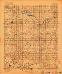
1892 Map of Kingfisher
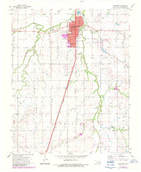
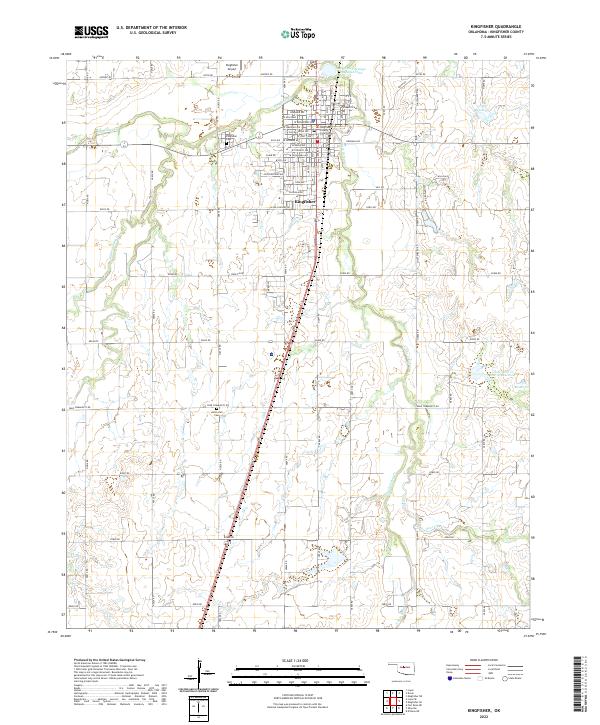
USGS Topo · Published 1957About this map
The Chisholm Trail cuts a historic path through this portion of Oklahoma Territory, tracing a route between the Cimarron River to the north and the Canadian River to the south. This late nineteenth-century landscape is defined by the early development of the railroad corridors, with the Chicago Rock Island and Pacific RR running north-south through the county seat of Kingfisher and down to El Reno. Before the era of modern bridges, river crossings were vital nodes of transit, as evidenced by Gould Ford, Kirby Ford, and Rudd Ford along the Cimarron. Small frontier settlements such as Mathewson, Okarche, and Dover are scattered across the township grid, often situated near water sources like Turkey Creek or Caddo Spring. The presence of Iron Mound provides a rare topographic landmark in a region characterized by wide river valleys and expanding agricultural claims.
Find a feature on this map
65 named features on this map. Tap any name to fly to it.
Don’t see what you’re looking for? This feature index may not catch every label — zoom into the map to look around manually.
Map Details
Editions of this 1892 Kingfisher Map
This is the sole edition of this map. No revisions or reprints were ever made.
Historical Maps of Oklahoma City Through Time
8 maps found