
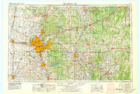
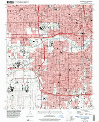
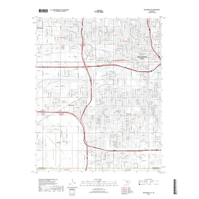
1893 Map of Oklahoma City
USGS Topo · Published 1893About this map
Oklahoma City appears in its early urban form in the northeast corner of this survey, set against the vast, unsettled landscape of the late nineteenth century. The map documents a critical period of transition as the Oklahoma Indian Territy Boundary Line separates established counties from the southern Chickasaw Nation. The river systems of the North Fork Canadian River and the Canadian River dominate the topography, dictating the placement of early settlements and transportation routes.
Find a feature on this map
23 named features on this map. Tap any name to fly to it.
Don’t see what you’re looking for? This feature index may not catch every label — zoom into the map to look around manually.
Map Details
Editions of this 1893 Oklahoma City Map
This is the sole edition of this map. No revisions or reprints were ever made.
Historical Maps of Oklahoma City Through Time
13 maps found
1893 Oklahoma City
Oklahoma County, OK

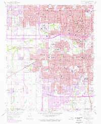
1954 Oklahoma City
Oklahoma County, OK
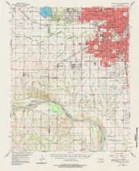
1956 Oklahoma City
Oklahoma County, OK
1956 Oklahoma City
Oklahoma County, OK
1957 Oklahoma City
Oklahoma County, OK

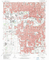
1963 Oklahoma City
Oklahoma County, OK
1986 Oklahoma City
Oklahoma County, OK
1995 Oklahoma City
Oklahoma County, OK
2009 Oklahoma City
Oklahoma County, OK
2012 Oklahoma City
Oklahoma County, OK
2016 Oklahoma City
Oklahoma County, OK
2018 Oklahoma City
Oklahoma County, OK
2022 Oklahoma City
Oklahoma County, OK