
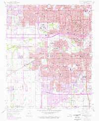
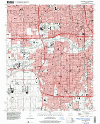
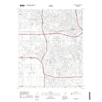
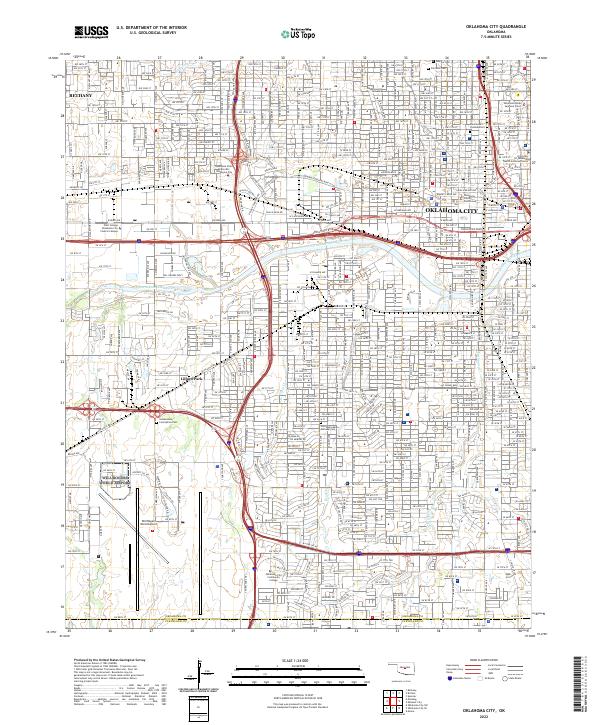
1954 Map of Oklahoma City
USGS Topo · Published 1954About this map
Oklahoma City serves as the central hub of this mid-century survey, surrounded by a rapidly evolving landscape of postwar aviation and infrastructure. The map documents a critical moment for Oklahoma transportation with the presence of the Turner Turnpike stretching northeast toward Sapulpa, alongside established rail corridors like the Atchison Topeka and Santa Fe RR and the Chicago Rock Island and Pacific RR. Key military and civil aviation sites, including Will Rogers Field and Tinker Field, highlight the region's strategic importance during the early Cold War era.
Find a feature on this map
75 named features on this map. Tap any name to fly to it.
Don’t see what you’re looking for? This feature index may not catch every label — zoom into the map to look around manually.
Map Details
Editions of this 1954 Oklahoma City Map
This is the sole edition of this map. No revisions or reprints were ever made.
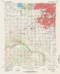
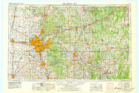
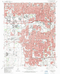
Historical Maps of Oklahoma City Through Time
13 maps found

1893 Oklahoma City
Oklahoma County, OK
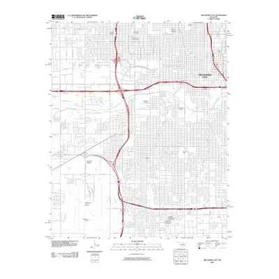
1954 Oklahoma City
Oklahoma County, OK
1956 Oklahoma City
Oklahoma County, OK
1956 Oklahoma City
Oklahoma County, OK
1957 Oklahoma City
Oklahoma County, OK

1963 Oklahoma City
Oklahoma County, OK
1986 Oklahoma City
Oklahoma County, OK
1995 Oklahoma City
Oklahoma County, OK
2009 Oklahoma City
Oklahoma County, OK
2012 Oklahoma City
Oklahoma County, OK
2016 Oklahoma City
Oklahoma County, OK
2018 Oklahoma City
Oklahoma County, OK
2022 Oklahoma City
Oklahoma County, OK