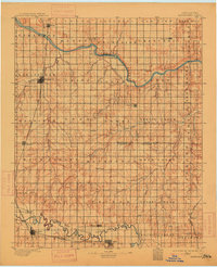
1895 Map of Kingfisher
USGS Topo · Published 1915About this map
The Cimarron River winds through this central Oklahoma landscape just a few years after the Land Run of 1889, revealing a territory in the midst of rapid settlement and rail expansion. Major hubs like Kingfisher and El Reno are already established along the Chicago Rock Island and Pacific RR, which serves as a primary north-south artery for the region. The map highlights the early reliance on river crossings, marking specific points like Gould Ford, Kirby Ford, and Rudd Ford before modern bridges became commonplace.
Find a feature on this map
75 named features on this map. Tap any name to fly to it.
Don’t see what you’re looking for? This feature index may not catch every label — zoom into the map to look around manually.
Map Details
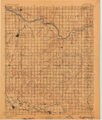
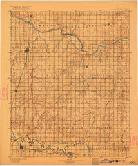
Editions of this 1895 Kingfisher Map
4 editions found

Other maps of this area

1892 · Moore
USGS Topo · 1:62,500

1892 · Guthrie
USGS Topo · 1:62,500

1892 · Edmond
USGS Topo · 1:62,500

1892 · Kingfisher
USGS Topo · 1:125,000

1893 · Fort Reno
USGS Topo · 1:62,500

1893 · Mulhall
USGS Topo · 1:62,500

1893 · Oklahoma City
USGS Topo · 1:62,500

1893 · Lovell
USGS Topo · 1:62,500

1893 · Buggy Creek
USGS Topo · 1:62,500

1893 · Hennessey
USGS Topo · 1:62,500