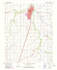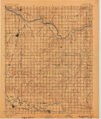
1895 Map of Kingfisher
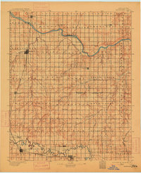
USGS Topo · Published 1904About this map
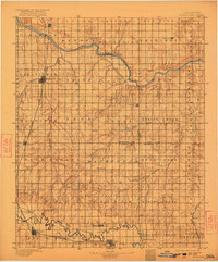
The Cimarron River carves a winding path across this landscape, its banks marked by early river crossings including Gould Ford, Kirby Ford, and Rudd Ford. Surveyed shortly after the Land Run of 1889, the map reveals the emerging township structure of the Oklahoma Territory, with the central hub of Kingfisher positioned at the intersection of the Chicago Rock Island and Pacific RR and Kingfisher Creek. The southern reach of the map is defined by the North Fork of Canadian River, where the bustling rail junctions of El Reno and Yukon anchor a developing transportation corridor.
Find a feature on this map
72 named features on this map. Tap any name to fly to it.
Don’t see what you’re looking for? This feature index may not catch every label — zoom into the map to look around manually.
Map Details
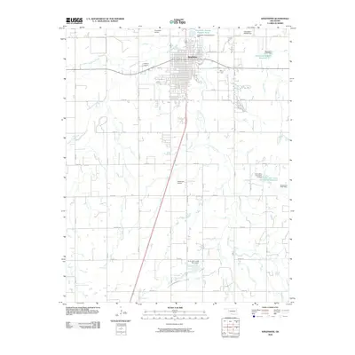
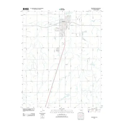
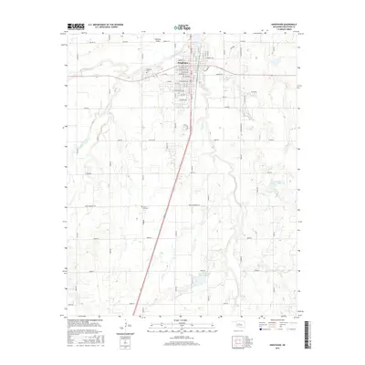
Editions of this 1895 Kingfisher Map
4 editions found

Historical Maps of Oklahoma City Through Time
8 maps found