
Loading...
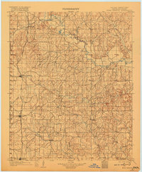
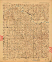
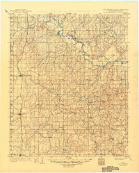
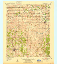
Loading map...1902 Map of Rush Springs
USGS Topo · Published 1902About this map
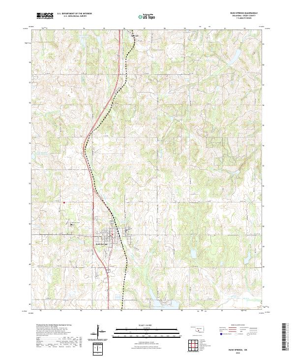
The Washita River snakes through the northern reaches of the Chickasaw Nation in this 1898 survey of the Indian Territory. The landscape is defined by a dense network of watercourses, including Rush Creek, Roaring Creek, and Wildhorse Creek, which dictated early settlement patterns before statehood. The Chicago Rock Island and Pacific railroad provides the primary north-south transportation artery, connecting the growing hubs of Rush Springs, Marlow, and Ninnekah.
Find a feature on this map
39 named features on this map. Tap any name to fly to it.
Don’t see what you’re looking for? This feature index may not catch every label — zoom into the map to look around manually.
Map Details
Date Portrayed1902
Date Published1902
PublisherU.S. Geological Survey
Map TypeTopographic
Scale1:125,000
Physical Dimensions16.7 x 19.9 inches
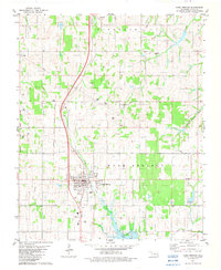
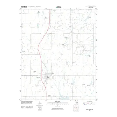
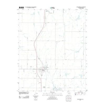
Editions of this 1902 Rush Springs Map
4 editions found
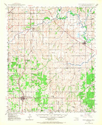
Historical Maps of Duncan Through Time
9 maps found
Featured Locations
Source Details
SourceU.S. Geological Survey
CopyrightPublic Domain