
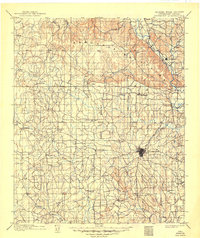
1901 Map of Ardmore
USGS Topo · Published 1901About this map
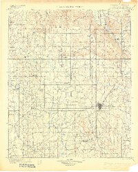
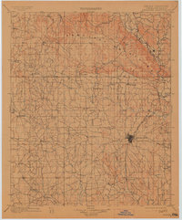
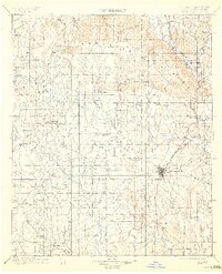
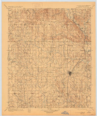
Ardmore serves as the focal point of this Chickasaw Nation territory, situated just before the transition from Indian Territory to Oklahoma statehood. The regional geography is dominated by the northern Arbuckle Mountains, while the Washita River cuts through the northeastern corner near Dougherty. Evidence of early extractive industry is visible with several Asphalt Mine operations scattered across the central landscape, particularly near the Indian Meridian.
Find a feature on this map
60 named features on this map. Tap any name to fly to it.
Don’t see what you’re looking for? This feature index may not catch every label — zoom into the map to look around manually.
Map Details
Editions of this 1901 Ardmore Map
6 editions found
Other maps of this area

1898 · Pauls Valley
USGS Topo · 1:125,000

1901 · Stonewall
USGS Topo · 1:125,000

1901 · Addington
USGS Topo · 1:125,000

1901 · Tishomingo
USGS Topo · 1:125,000

1901 · Denison
USGS Topo · 1:125,000

1902 · Gainesville
USGS Topo · 1:125,000

1902 · Pauls Valley
USGS Topo · 1:125,000

1902 · Rush Springs
USGS Topo · 1:125,000

1905 · Montague
USGS Topo · 1:125,000

1918 · Ardmore
USGS Topo · 1:125,000