
1905 Map of Montague
USGS Topo · Published 1905About this map
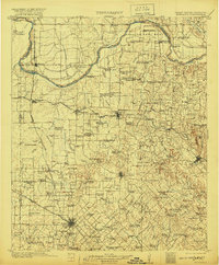
The Red River serves as the winding boundary between Montague County, Texas and the Chickasaw Nation in Indian Territory, defining a frontier landscape of river crossings and emerging rail hubs. At the turn of the century, the region was heavily reliant on the river-and-rail economy, evidenced by numerous transit points like Yellowbank Ferry, Petersburg Ferry, and the Red River Station Crossing. Local life centers around a dense network of country schools, such as March School and Newby Mound School, alongside topographic landmarks like Queens Peak and Jim Ned Lookout.
Find a feature on this map
199 named features on this map. Tap any name to fly to it.
Don’t see what you’re looking for? This feature index may not catch every label — zoom into the map to look around manually.
Map Details
Editions of this 1905 Montague Map
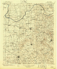
3 editions found
Other maps of this area

1901 · Addington
USGS Topo · 1:125,000

1901 · Ardmore
USGS Topo · 1:125,000

1902 · Gainesville
USGS Topo · 1:125,000

1918 · Ardmore
USGS Topo · 1:125,000

1943 · Gainesville
USGS Topo · 1:125,000

1954 · Sherman
USGS Topo · 1:250,000

1954 · Wichita Falls
USGS Topo · 1:250,000

1955 · Lawton
USGS Topo · 1:250,000

1956 · Henrietta
USGS Topo · 1:62,500

1957 · Hastings
USGS Topo · 1:62,500