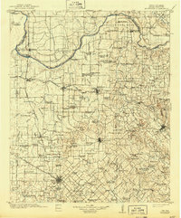
1905 Map of Montague
USGS Topo · Published 1943About this map
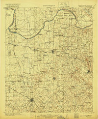
The Red River defines the border between Texas and the Chickasaw Nation in this detailed turn-of-the-century topographic study. The landscape is heavily marked by late-frontier infrastructure, where the Fort Worth and Denver City R.R. and Chicago Rock Island and Gulf R.R. intersect at Bowie. Northward, the map documents a dense network of early rural education, featuring uniquely named landmarks such as Battle-ax School, Pigtail School, and White and Priddy School. Along the river, historical transit points like Petersburg Ferry and the Red River Station Crossing indicate the importance of these water routes before modern bridging. Significant terrain features, including Queens Peak and Dye Mounds, rise above the creeks and branches, while the site of Spanish Fort stands as a testament to the region's earlier colonial and Indigenous history.
Find a feature on this map
143 named features on this map. Tap any name to fly to it.
Don’t see what you’re looking for? This feature index may not catch every label — zoom into the map to look around manually.
Map Details
Editions of this 1905 Montague Map
3 editions found
Other maps of this area

1901 · Addington
USGS Topo · 1:125,000

1901 · Ardmore
USGS Topo · 1:125,000

1902 · Gainesville
USGS Topo · 1:125,000

1905 · Montague
USGS Topo · 1:125,000

1918 · Ardmore
USGS Topo · 1:125,000

1943 · Gainesville
USGS Topo · 1:125,000

1954 · Sherman
USGS Topo · 1:250,000

1954 · Wichita Falls
USGS Topo · 1:250,000

1955 · Lawton
USGS Topo · 1:250,000

1956 · Henrietta
USGS Topo · 1:62,500