Old Maps of Lone Grove, Oklahoma
Explore 17 old maps of Lone Grove, spanning from 1901 to today. These high-resolution historic maps reveal how streets, neighborhoods, landmarks, and natural features evolved over time — perfect for genealogy, metal detecting, research, and local history exploration.
What you can do with these maps:
- See how Lone Grove changed over time: Compare historical maps to modern-day views to trace roads, homesites, rail lines & more.
- View detailed metadata: Each map includes creators, publishers, year, scale, and archive source.
- Overlay maps with satellite & LiDAR: Visualize the past alongside modern tools to explore terrain & human change.
- Trusted historical sources: Maps sourced from the USGS, Library of Congress, and other archives.
- Access maps your way: View online, download high-res files, or order prints for personal or research use.
Start exploring old maps of Lone Grove to uncover forgotten places, hidden landmarks, and the deep history beneath your feet.
Lone Grove, OK maps
(17)- 1901 Map of Ardmore
 1901 Ardmore1901 Print · USGSThe Chickasaw Nation of Indian Territory is captured here at the turn of the century, showing a landscape of burgeoning rail towns and early industry. Researchers can trace the Gulf Colorado and Santa Fe line through Ardmore or locate early Asphalt Mine sites near Newport.6 unique versions available
 - 1918 Map of Ardmore
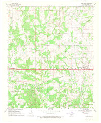
 1918 Ardmore1918 Print · USGSSouthern Oklahoma was a hub of energy production and rail traffic during the late teens. Researchers can trace the early infrastructure of the Healdton Oil Fields, find vanished sites like Joiner City, or locate the Post Oak School.
 - 1957 Map of Ardmore, 1968 Print
 1957 Ardmore1968 Print · USGSSouth-central Oklahoma in the late fifties was a landscape of rising reservoir waters and expanding rail lines. Genealogists and historians can trace the foundations of Ardmore and Duncan or locate early recreation sites at Platt National Park and Lake Murray State Park.3 unique versions available
 - 1963 Map of Ardmore
 1963 Ardmore1963 Print · USGSSouthern Oklahoma during the early sixties shows a landscape defined by the Arbuckle Mountains and a booming energy economy. Genealogists and historians can trace family-named sites across the Ardmore Oil Field, find old schools like Southeastern State College, or locate historic markers such as Boggy Depot State Park.2 unique versions available
 - 1964 Map of Ardmore West, 1965 Print
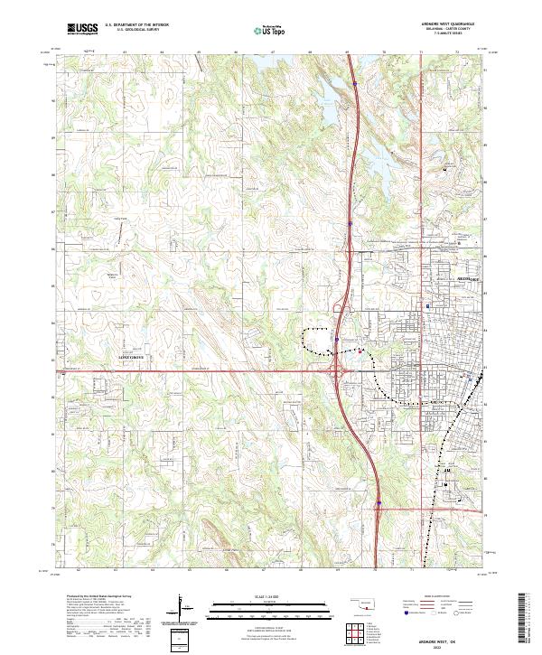
 1964 Ardmore West1965 Print · USGSMid-century Ardmore and the rural stretches of Carter County are captured here as the city expanded westward toward the Criner Hills. Researchers can locate family sites at Rose Hill Cemetery, the historic Bloomfield Academy, or the settlement of Stobtown.3 unique versions available
 - 1969 Map of Lone Grove, 1971 Print
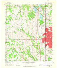
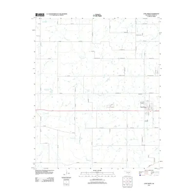
 1969 Lone Grove1971 Print · USGSLone Grove was expanding along the Santa Fe rail line in the late sixties as the local petroleum industry grew. Researchers can locate family landmarks like Lone Grove Cem, the Blue Ribbon Ch, and the extensive southern Oil Field.2 unique versions available
 - 1986 Map of Ardmore
 1986 Ardmore1986 Print · USGSSouthern Oklahoma in the mid-eighties was a landscape of rugged geology and deep petroleum roots. Genealogists and historians can trace the development of Ardmore and Healdon alongside the vast Sholem Alechem Oil Field and the rails of the AT & SF RR.2 unique versions available
 - 2009 Map of Lone Grove, 2009 Print
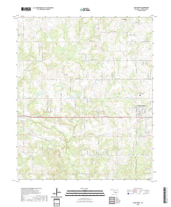
 2009 Lone Grove2009 Print · USGSCovers Lone Grove, including Carter County, United States, and other nearby areas
 - 2009 Map of Ardmore West, 2009 Print
 2009 Ardmore West2009 Print · USGSCovers Lone Grove, including Ardmore, Carter County, and other nearby areas
 - 2012 Map of Lone Grove, 2012 Print
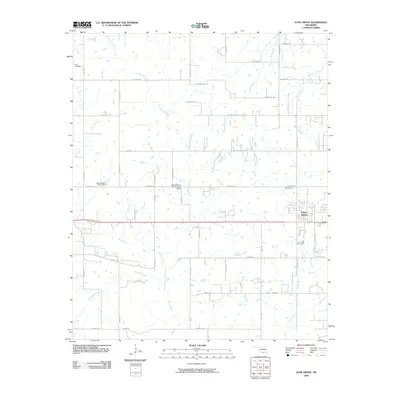
 2012 Lone Grove2012 Print · USGSCovers Lone Grove, including Carter County, United States, and other nearby areas
 - 2012 Map of Ardmore West, 2012 Print
 2012 Ardmore West2012 Print · USGSCovers Lone Grove, including Ardmore, Carter County, and other nearby areas
 - 2016 Map of Ardmore West, 2016 Print
 2016 Ardmore West2016 Print · USGSCovers Lone Grove, including Ardmore, Carter County, and other nearby areas
 - 2016 Map of Lone Grove, 2016 Print
 2016 Lone Grove2016 Print · USGSCovers Lone Grove, including Carter County, United States, and other nearby areas
 - 2018 Map of Ardmore West, 2018 Print
 2018 Ardmore West2018 Print · USGSCovers Lone Grove, including Ardmore, Carter County, and other nearby areas
 - 2018 Map of Lone Grove, 2018 Print
 2018 Lone Grove2018 Print · USGSCovers Lone Grove, including Carter County, United States, and other nearby areas
 - 2022 Map of Lone Grove, 2022 Print
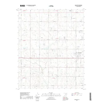
 2022 Lone Grove2022 Print · USGSLone Grove and the surrounding Carter County prairies are shown in detail here during the early twenty-first century. Genealogists and local historians can trace the town's expansion and locate rural landmarks like Keller Cem, Lone Grove Cem, and the waters of Walnut Bayou.
 - 2022 Map of Ardmore West, 2022 Print
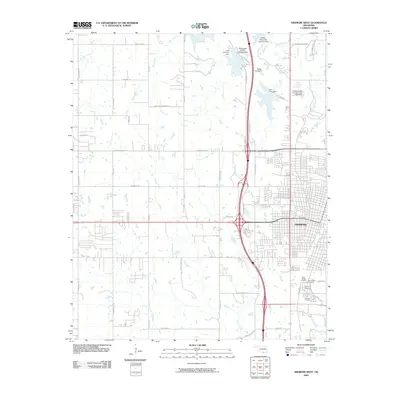
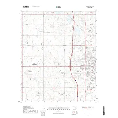
 2022 Ardmore West2022 Print · USGSArdmore and nearby Lone Grove are shown at their modern extent in the early 2020s, highlighting the expansion of residential and educational infrastructure. Trace local family history at Rose Hill Cem or locate civil landmarks like the Carter County Courthouse.
End of results
Showing maps 1-17 of 17
Top cities near Lone Grove
- Ardmore historical maps
- Healdton historical maps
- Wilson historical maps
- Dickson historical maps
- Springer historical maps
- Dougherty historical maps
Frequently asked questions
- What are the different types of historical maps available for Lone Grove?
- What is the oldest map of Lone Grove?
- Where can I purchase historical maps of Lone Grove for my home or office?
- Where can I download high-res historical maps of Lone Grove?
- Are there historical topographic maps available for Lone Grove?
- Is there historical aerial imagery available for Lone Grove?
- Where are historical maps of Lone Grove sourced from?