
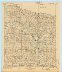
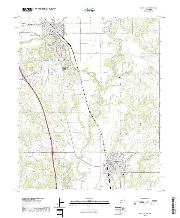
1898 Map of Pauls Valley
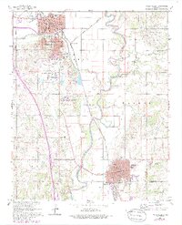
USGS Topo · Published 1954About this map
The Old Indian Territory Boundary along the north bank of the Canadian River marks the edge of the Chickasaw Nation during this late nineteenth-century survey. Central to the region is Pauls Valley, a critical junction where the Washita River and the Gulf Colorado and Santa Fe RR meet. The map documents a landscape transitioning from tribal territories to organized townships, anchored by the Indian Meridian and Base Line. Small agricultural centers such as Whitebead, Paoli, and Wynnewood dot the valley, while more isolated settlements like Foster and Iona occupy the upland drainages. Genealogists can trace the early road networks connecting these communities through the complex creek systems of Rush Creek and Wildhorse Creek, which dictated the early settlement patterns of Garvin County before statehood.
Find a feature on this map
44 named features on this map. Tap any name to fly to it.
Don’t see what you’re looking for? This feature index may not catch every label — zoom into the map to look around manually.
Map Details
Editions of this 1898 Pauls Valley Map
This is the sole edition of this map. No revisions or reprints were ever made.
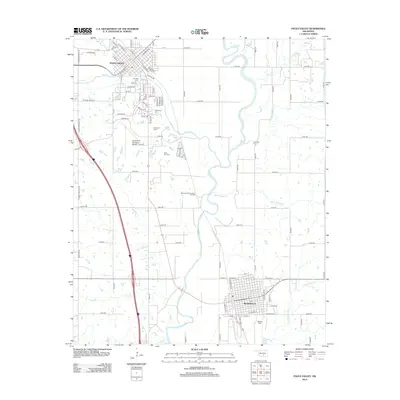
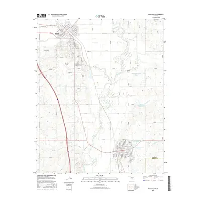
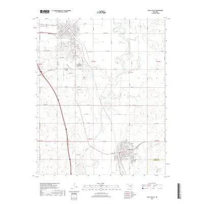
Historical Maps of Purcell Through Time
9 maps found
1898 Pauls Valley
Garvin County, OK
1902 Pauls Valley
Garvin County, OK
1965 Pauls Valley
Garvin County, OK
1986 Pauls Valley
Garvin County, OK
2009 Pauls Valley
Garvin County, OK
2012 Pauls Valley
Garvin County, OK
2016 Pauls Valley
Garvin County, OK
2018 Pauls Valley
Garvin County, OK
2022 Pauls Valley
Garvin County, OK